Enable Location

We need your location to show you interesting places around you

Discover nearby places

Find interesting locations and hidden gems around you

Precise directions

Get accurate directions and distances to places

Your location is never shared with other users. It's only used when you tap the location button.

Log in to your account

Join the adventure

Create your free account and start exploring

Save your favorite places
Create custom travel routes
Rate and review places
Access the full interactive map
Continue with Google
Continue with Apple
Continue with email
By continuing, you accept our Terms and Conditions and our Privacy Policy
Create an account

Emmendingen, Administrative district in Baden-Württemberg, Germany.

Description

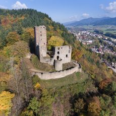
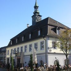
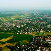
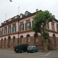
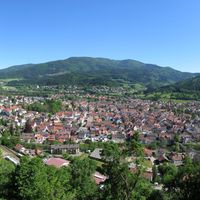
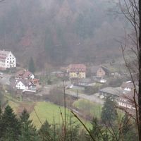
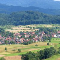
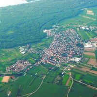
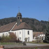
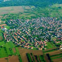
Emmendingen district is an administrative area in Baden-Württemberg comprising 24 municipalities spread across the region between Black Forest foothills and the Kaiserstuhl mountain range. The town of Emmendingen serves as the administrative center for the entire district.

History

The district was created in 1939 as part of a major administrative reorganization of Baden-Württemberg. Multiple previously separate municipalities were consolidated under unified governance at that time.

Culture

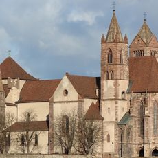
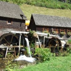
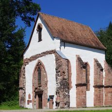
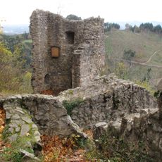
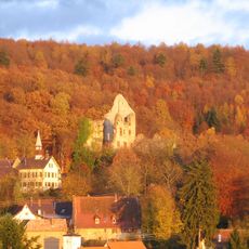
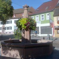
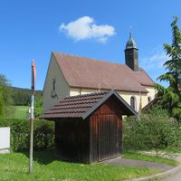
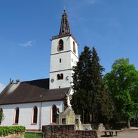
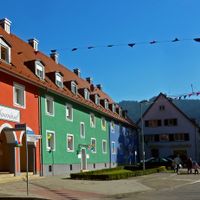
Each of the 24 municipalities maintains its own local traditions, festivals, and community events that bring residents together throughout the year. These gatherings reflect how people in each town relate to their surroundings and to one another.

Practical

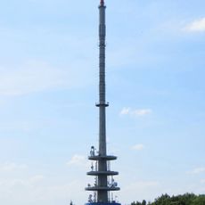
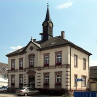
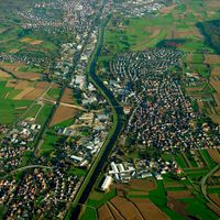
The district administration office in Emmendingen city handles public services for residents, while regional trains and buses connect all municipalities throughout the area. Good transportation links make it easy for visitors to travel between different towns.

Did you know?

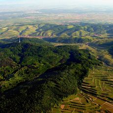
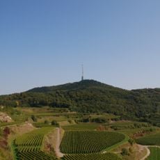
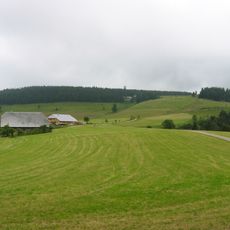
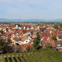
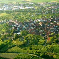
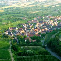
Several communities are located along the Kaiserstuhl, a volcanic mountain range that creates special conditions for wine growing. This geographical feature shapes both farming practices and the landscape character in those towns.

i
Location
Landeskommissärbezirk Freiburg
i
Inception
January 1, 1939
i
Capital city
Emmendingen
i
Elevation above the sea
352 m
i
Shares border with
Breisgau-Hochschwarzwald, Freiburg im Breisgau, Schwarzwald-Baar district, Ortenau
i
GPS coordinates
48.10000,7.80000
i
Latest update
December 20, 2025 14:09

AroundUs brings together thousands of curated places, local tips, and hidden gems, enriched daily by 60,000 contributors worldwide. Discover all places nearby (Freiburg Government Region).

Reviews

Visited this place? Tap the stars to rate it and share your experience / photos with the community! Try now! You can cancel it anytime.

« Emmendingen - Administrative district in Baden-Württemberg, Germany » is provided by Around Us (aroundus.com). Images and texts are derived from Wikimedia project under a Creative Commons license. You are allowed to copy, distribute, and modify copies of this page, under the conditions set by the license, as long as this note is clearly visible.

Discover hidden gems everywhere you go!

From secret cafés to breathtaking viewpoints, skip the crowded tourist spots and find places that match your style. Our app makes it easy with voice search, smart filtering, route optimization, and insider tips from travelers worldwide. Download now for the complete mobile experience.

Around Us App Screenshot

A unique approach to discovering new places

Le Figaro

All the places worth exploring

France Info

A tailor-made excursion in just a few clicks

20 Minutes