Enable Location

We need your location to show you interesting places around you

Discover nearby places

Find interesting locations and hidden gems around you

Precise directions

Get accurate directions and distances to places

Your location is never shared with other users. It's only used when you tap the location button.

Rohrhardsberg

Log in to your account

Start exploring — it's free

Trusted by 62,847 travelers worldwide

Continue with Google
Continue with Apple
or

We will send you a code to connect

By continuing, you accept our Terms and Conditions and our Privacy Policy

Check your inbox

We've sent a pincode in your inbox. Please enter the code below.

Rohrhardsberg

Rohrhardsberg, Mountain summit in Baden-Württemberg, Germany

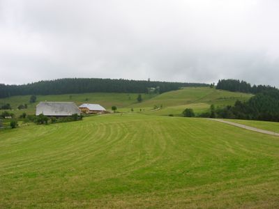
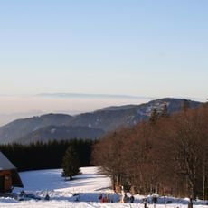
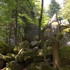
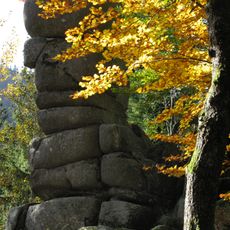
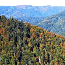
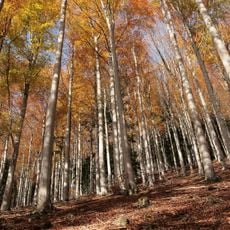
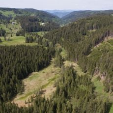
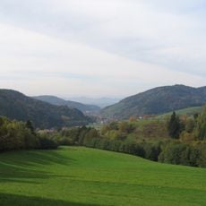
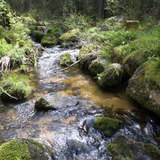
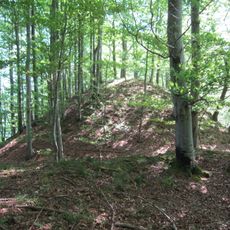
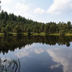
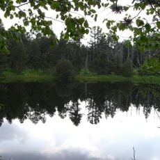
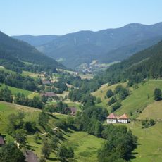
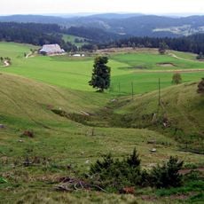
Rohrhardsberg is a summit in the Black Forest region rising to approximately 1150 meters and surrounded by dense woodland throughout its slopes. The mountain sits within the broader mountain range of southern Baden-Württemberg, with trails crossing through mixed forest ecosystems.

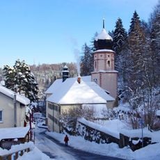
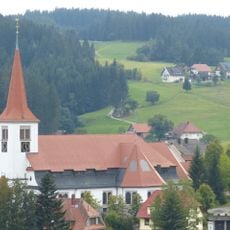
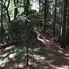
For centuries this mountain served as a passage between Black Forest villages and supported timber transport across the region. The historical routes that connected these communities have become the foundation for today's hiking trail network.

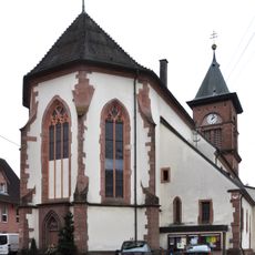
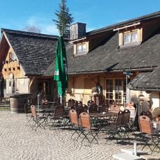
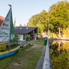
Regional festivals in neighboring towns showcase traditional Black Forest music, crafts, and food preparations that reflect the mountain communities' heritage.

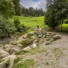
Multiple hiking trails of varying difficulty connect to the summit and suit different fitness levels and experience. Parking areas are available near the main trail entrances for visitor convenience.

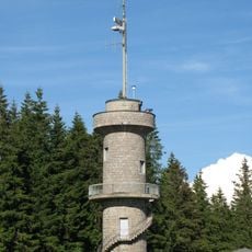
A telecommunications tower and wind turbine from 2004 occupy the peak, showing how modern technology coexists with traditional mountain landscapes. Visitors notice this infrastructure from below during the climb to the summit.

The community of curious travelers

AroundUs brings together thousands of curated places, local tips, and hidden gems, enriched daily by 60,000 contributors worldwide.

Start exploring
Elevation above the sea
1,153.2 m
GPS coordinates
48.13157,8.12563
Latest update
December 12, 2025 09:00
« Rohrhardsberg - Mountain summit in Baden-Württemberg, Germany » is provided by Around Us (aroundus.com). Images and texts are derived from Wikimedia project under a Creative Commons license. You are allowed to copy, distribute, and modify copies of this page, under the conditions set by the license, as long as this note is clearly visible.

Discover hidden gems everywhere you go!

From secret cafés to breathtaking viewpoints, skip the crowded tourist spots and find places that match your style. Our app makes it easy with voice search, smart filtering, route optimization, and insider tips from travelers worldwide. Download now for the complete mobile experience.

Around Us App Screenshot

A unique approach to discovering new places

Le Figaro

All the places worth exploring

France Info

A tailor-made excursion in just a few clicks

20 Minutes

Around Us
Travel Guide & Maps
Download

Send to your phone

QR Code
1

Open the camera app on your mobile.

2

Point at the QR code with your camera. A notification will appear.

3

Tap the notification to open the link.