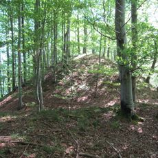
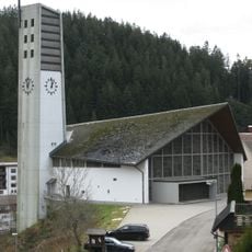
Obereck, Mountain summit in Central Black Forest, Germany
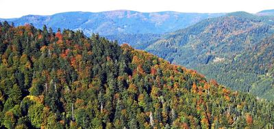
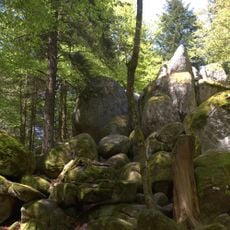
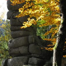
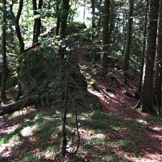
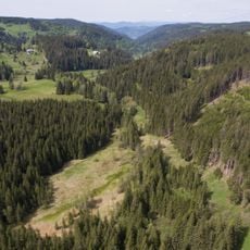
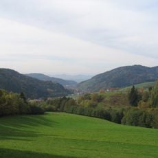
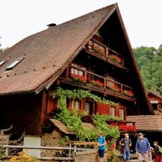
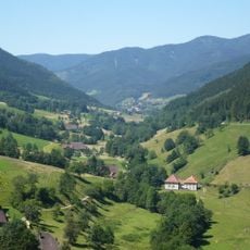
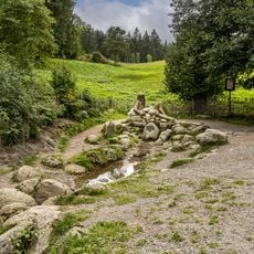
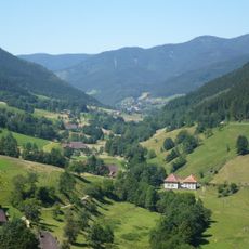
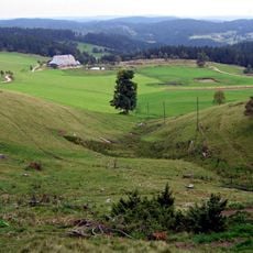
Obereck is a 1,177-meter-high summit in the Central Black Forest that sits beneath continuous tree cover, with multiple hiking trails leading to it. The area features forested slopes on all sides, and a mountain shelter called Ibichhütte located about 850 meters to the west-southwest.
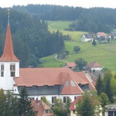
Paths around this peak have connected settlements in the Emmendingen area for many generations, serving as traditional routes that people traveled between communities. These routes were shaped by the practical need to move through the forested mountains.
Local hikers visit the summit as part of their regular outdoor habits, treating the area as a natural gathering space for people who live nearby. The maintained paths show how much the community values access to these forested heights.
Marked trails to the summit are open year-round and easy to follow, making navigation straightforward for visitors of different abilities. Bring sturdy shoes and rain gear since forests at this elevation can change weather quickly and the ground can be wet.
Even at 1,177 meters high, the summit offers no distant views because trees completely cover the peak. This lack of a panorama makes climbing here quite different from many other famous German mountain tops.
The community of curious travelers
AroundUs brings together thousands of curated places, local tips, and hidden gems, enriched daily by 60,000 contributors worldwide.