Günterfelsen und Umgebung, Protected granite formation in Furtwangen im Schwarzwald, Germany
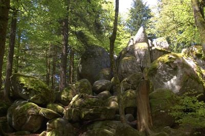
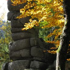
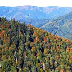
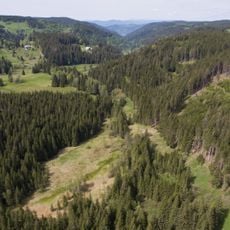
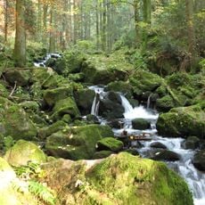
Günterfelsen and its surrounding area is a protected nature reserve with large granite boulders spread across about 1.7 hectares of dense forest in the Brend region of the Black Forest. The formation consists of massive rock blocks standing between firs and spruces, creating a distinctive geological site.
The area received its protection status in June 1956 as a nature reserve. Between 1933 and the end of World War II, the site temporarily bore the name Albert Leo Schlageter Felsen before returning to its current name.
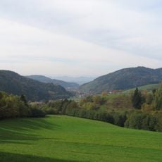
The name Günterfelsen likely comes from a former resident or shepherd of the area. The rocks serve as a recognizable landmark for people traveling through the Black Forest.
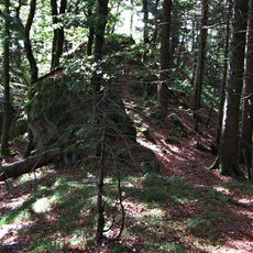
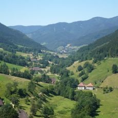
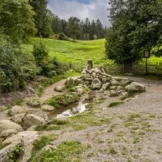
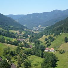
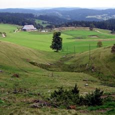
The area is reachable via several hiking routes, including a roughly 7-kilometer loop from Oberbregenbach with moderate elevation gain. The forest here is walkable throughout the year, but sturdy footwear is necessary because of the uneven rock formations.
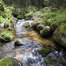
The rounded shapes of the granite blocks formed through spheroidal weathering, where water enters through cracks and breaks the stones into shell-like layers. This geological process happens over a long time and creates the characteristic wool-sack-like shape visible here.
The community of curious travelers
AroundUs brings together thousands of curated places, local tips, and hidden gems, enriched daily by 60,000 contributors worldwide.