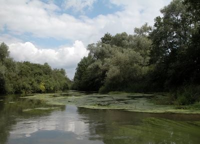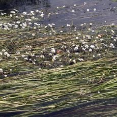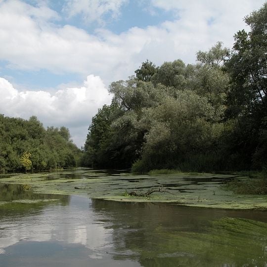
Taubergießen, Nature reserve in the Upper Rhine plain, Baden-Württemberg, Germany
Taubergießen is a 1,697-hectare nature reserve on the southern Upper Rhine, stretching over 12 km north to south and up to 2.5 km wide. About 60% is floodplain forest, the rest grassland; numerous watercourses cross it, and flat mats of small green aquatic plants float on the broad, slow-moving water. The reserve lies by Kappel-Grafenhausen, Rust and Rheinhausen, and 9.98 km² belongs to the French commune of Rhinau.
The Upper Rhine Plain formed about 35 million years ago through a rift; the Rhine later cut its bed and floodplains developed. The straightening of the Rhine in the first half of the 19th century fixed a main channel and shifted the border, though ownership stayed. Taubergießen was declared a nature reserve on 27 September 1979, and in 2008 it joined the Ramsar Convention.
The name comes from the Taubergießen stream in the north, which drains into the lower Elz. In local fishing usage, "taub" means nutrient-poor water with few fish, while a "Gießen" is a watercourse fed directly by groundwater. About 60 percent of the reserve is forest, the rest grassland used for agriculture.
Sturdy footwear and binoculars are important for walking the trails and observing wildlife. The site is open year-round, but the warmer months offer the best viewing when more activity is visible.
The name comes from the Taubergießen stream in the north, which drains into the lower Elz. "Gießen" are groundwater-fed arms that resurface where the valley floor drops; "taub" is the fishermen's word for nutrient-poor water with few fish. Nearly 60 percent of the reserve, 9.98 km², belongs to the French commune of Rhinau.
The community of curious travelers
AroundUs brings together thousands of curated places, local tips, and hidden gems, enriched daily by 94,897 contributors worldwide.