
Mesenberg und Ackerflur bei Wittlich, protected area in the European Union defined by the habitats directive in Rheinland-Pfalz, Germany
Location: Wittlich
Location: Bergweiler
Location: Dreis
Location: Zeltingen-Rachtig
Location: Platten
Inception: 2003
GPS coordinates: 49.96341,6.91045
Latest update: March 7, 2025 12:01
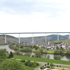
Hochmosel Bridge
6.4 km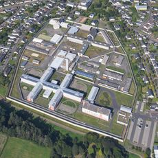
Justizvollzugsanstalt Wittlich
2.8 km
Christoph 10 (air ambulance)
4.3 km
Wallfahrtskirche Maria Heimsuchung Klausen
6.8 km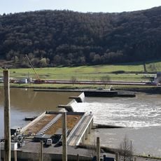
Staustufe Zeltingen
8.2 km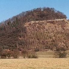
Neuerburger Kopf
4.5 km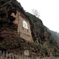
Ürziger Sonnenuhr
7.9 km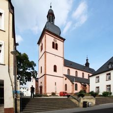
St. Markus
2.9 km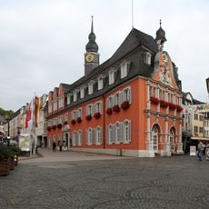
Altes Rathaus
3 km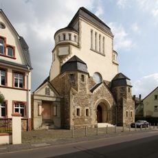
Wittlich Synagogue
3.3 km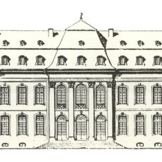
Schloss Philippsfreude
2.9 km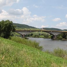
Moselbrücke Zeltingen
7 km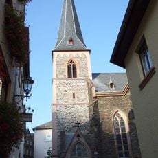
St. Maternus
7 km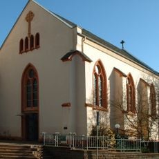
Protestant Church (Wittlich)
2.8 km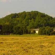
Lüxeberg
4.1 km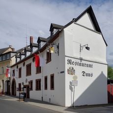
Daus House
2.9 km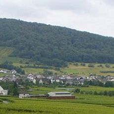
Monzeler Hüttenkopf
6.5 km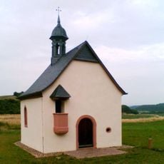
Fintenkapelle
5.4 km
Himmeroder Hof
7.5 km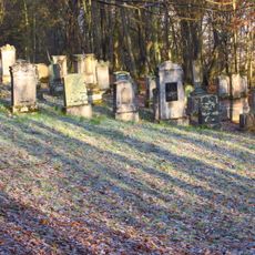
Osann Jewish Cemetery
4.7 km
Pfarrhaus
7 km
Pfarrhof
6.5 km
Maringer Wies
4.5 km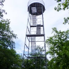
Grainskopf Tower
6.9 km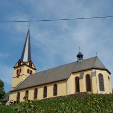
St. Stephanus
8 km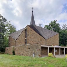
St. Paul
1.9 km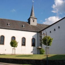
St. Jakobus
7.5 km
Schorbachtalkapelle
5.1 kmReviews
Visited this place? Tap the stars to rate it and share your experience / photos with the community! Try now! You can cancel it anytime.
Discover hidden gems everywhere you go!
From secret cafés to breathtaking viewpoints, skip the crowded tourist spots and find places that match your style. Our app makes it easy with voice search, smart filtering, route optimization, and insider tips from travelers worldwide. Download now for the complete mobile experience.

A unique approach to discovering new places❞
— Le Figaro
All the places worth exploring❞
— France Info
A tailor-made excursion in just a few clicks❞
— 20 Minutes