
Gewässersystem Annaburger Heide südöstlich Jessen, protected area in the European Union defined by the habitats directive in Sachsen-Anhalt, Germany
Location: Jessen (Elster)
Location: Annaburg
Inception: 2000
GPS coordinates: 51.73500,13.05118
Latest update: March 21, 2025 06:43
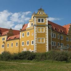
Schloss Annaburg
626 m
SAR 87
8.7 km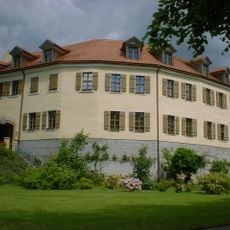
Schloss Jessen
8.7 km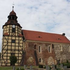
Protestant church Löben
3.9 km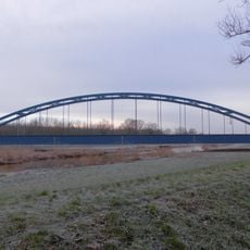
Premsendorf railway bridge
6.1 km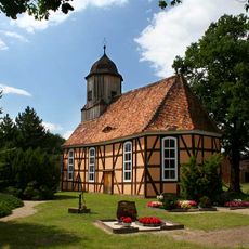
Timberframed protestant church Kremitz
4.8 km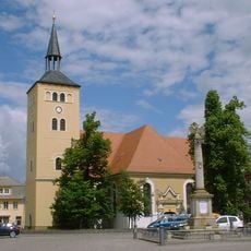
St. Nicolai
8.6 km
Alte Elster und Rohrbornwiesen
5.4 km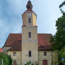
Protestant Church Annaburg
585 m
Amtshaus Annaburg
507 m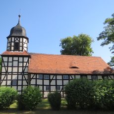
Kirche Arnsnesta
8.4 km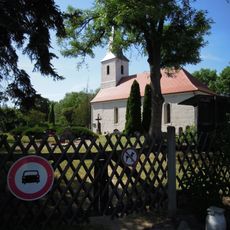
Protestant church Gerbisbach
7.4 km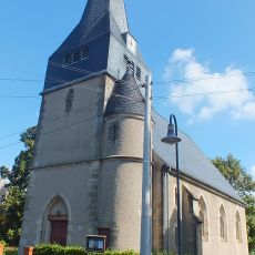
Protestant church Bethau
7.8 km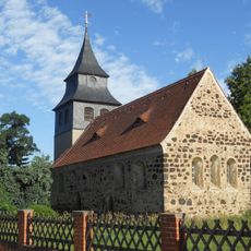
Protestant Church Klossa
5.2 km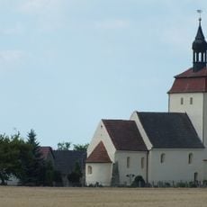
Dorfkirche Lebien
8 km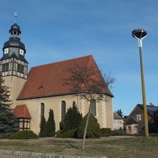
Protestant Church Grabo
9.3 km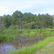
Hammer-Luch bei Löben
4.1 km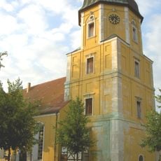
St. Marien Schweinitz
6.5 km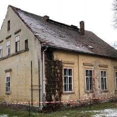
Torgauer Straße 50
718 m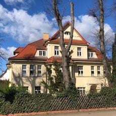
Wittenberger Straße 61
9 km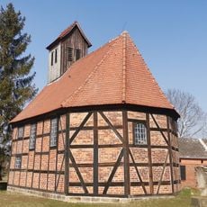
Dorfkirche Mahdel
9.4 km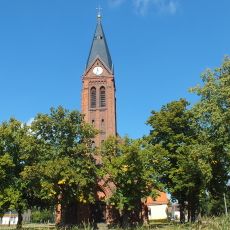
Protestant church Groß Naundorf
5.7 km
Protestant Church Premsendorf
6 km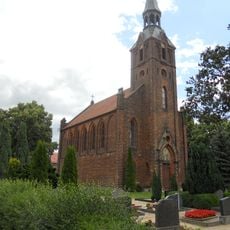
St. Salvator Purzien
3.6 km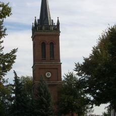
Protestant Church Holzdorf
7.2 km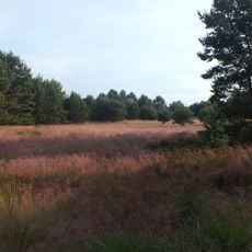
Annaburger Heide (SA)
5.4 km
Protestant Church Schöneicho
9.4 km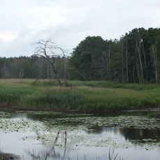
Alte Elster und Rohrbornwiesen bei Premsendorf
6.2 kmReviews
Visited this place? Tap the stars to rate it and share your experience / photos with the community! Try now! You can cancel it anytime.
Discover hidden gems everywhere you go!
From secret cafés to breathtaking viewpoints, skip the crowded tourist spots and find places that match your style. Our app makes it easy with voice search, smart filtering, route optimization, and insider tips from travelers worldwide. Download now for the complete mobile experience.

A unique approach to discovering new places❞
— Le Figaro
All the places worth exploring❞
— France Info
A tailor-made excursion in just a few clicks❞
— 20 Minutes