
Untere Eder, protected area in the European Union defined by the habitats directive in Hessen, Germany
Location: Waldeck-Frankenberg
Inception: 2000
GPS coordinates: 51.14077,9.22490
Latest update: March 7, 2025 06:10

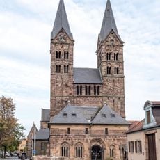
Saint Peter's Church, Fritzlar
3.6 km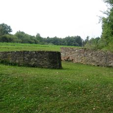
Büraburg
2.4 km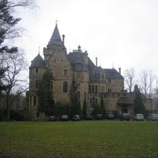
Garvensburg
3.5 km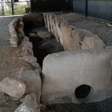
Megalithic tomb (Züschen)
3.8 km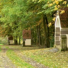
Büraberg
2.4 km
Kalbsburg
6 km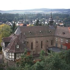
Ursulinenkloster Fritzlar
3.6 km
Franziskanerminoritenkloster Fritzlar
3.8 km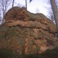
Riesenstein
6.3 km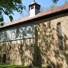
Fraumünsterkirche Fritzlar
4.7 km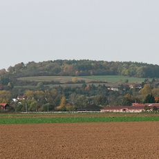
Eckerich
2.4 km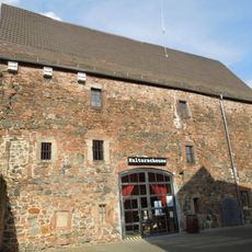
Kulturscheune Fritzlar
3.9 km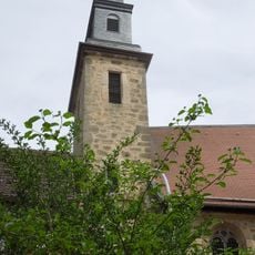
Evangelische Kirche Züschen
3.4 km
St. Bonifatius
2.2 km
Evangelische Kirche
5.3 km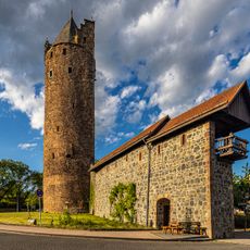
Grauer Turm
3.3 km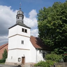
Evangelische Kirche
3.6 km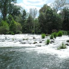
Ederauen zwischen Bergheim und Wega
4 km
Evangelische Kirche
1.7 km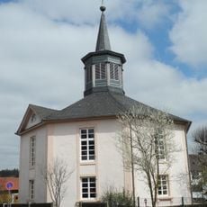
Evangelische Kirche
4.7 km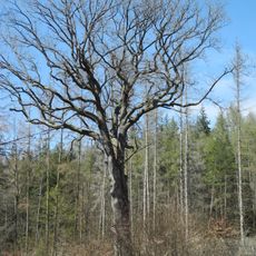
Heidenbluteiche
6 km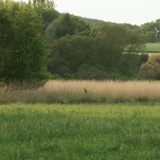
Schlämmteiche bei Geismar
1.8 km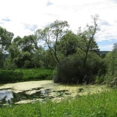
Unter der Haardt
1.4 km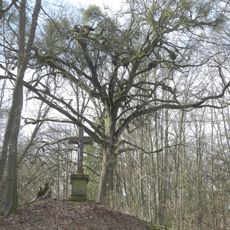
Linde von Ungedanken
2.5 km
Kalkmagerrasen bei Geismar
1.3 km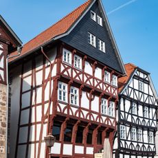
Haus Seibel
3.6 km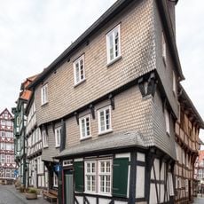
Spitzenhäuschen
3.5 km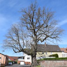
Linde von Wehren
5.9 kmReviews
Visited this place? Tap the stars to rate it and share your experience / photos with the community! Try now! You can cancel it anytime.
Discover hidden gems everywhere you go!
From secret cafés to breathtaking viewpoints, skip the crowded tourist spots and find places that match your style. Our app makes it easy with voice search, smart filtering, route optimization, and insider tips from travelers worldwide. Download now for the complete mobile experience.

A unique approach to discovering new places❞
— Le Figaro
All the places worth exploring❞
— France Info
A tailor-made excursion in just a few clicks❞
— 20 Minutes