
Wald nordöstlich Huppert, protected area in the European Union defined by the habitats directive in Hessen, Germany
Location: Heidenrod
Inception: 2003
GPS coordinates: 50.20844,8.02189
Latest update: March 30, 2025 18:09
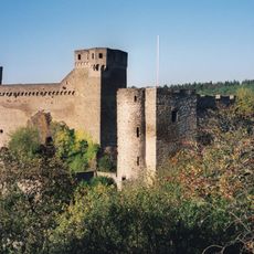
Burg Hohenstein
3 km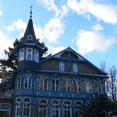
Villa Lilly
5.9 km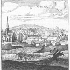
Gronau
6.5 km
Burg Greifenstein (Hohenstein)
2.9 km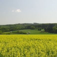
Grauer Kopf
5.2 km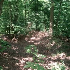
Schanze Adolfseck
6.1 km
Altschloss
4.4 km
Justinus-Felsen
6 km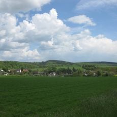
Mappershainer Kopf
4.4 km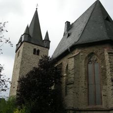
Evangelische Kirche Breithardt
5.6 km
Hennethaler Landwehr
6.6 km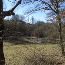
Pohlbachtal bei Adolfseck
6.6 km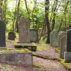
Jüdischer Friedhof Laufenselden
1.7 km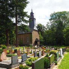
Protestant Church
6.4 km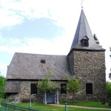
Alte Pfarrkirche in Michelbach
3.5 km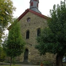
St. Philippus und Jakobus
2 km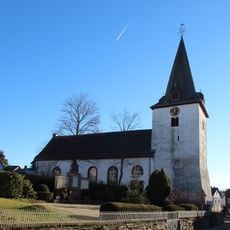
Evangelische Kirche
4.8 km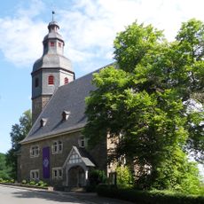
Protestant Church
3.6 km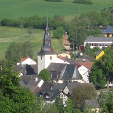
Protestant Church
2 km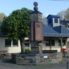
Kriegerdenkmal (Langschied)
5.3 km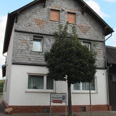
Langgasse 37
5.6 km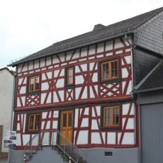
Langgasse 36
5.6 km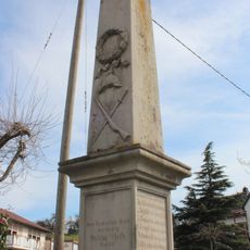
Kriegerdenkmal
4.9 km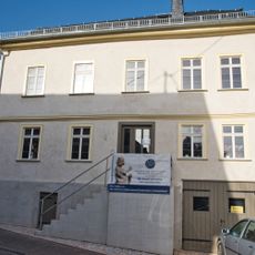
Kastellstraße 4
1.9 km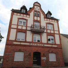
Rathaus
5.8 km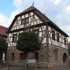
Ehemaliges Rat- und Backhaus
5.6 km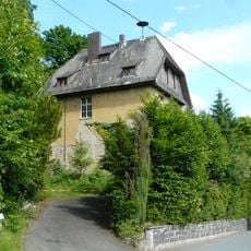
Ehemalige Volksschule
6.6 km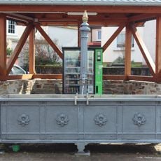
Brunnen
4.7 kmReviews
Visited this place? Tap the stars to rate it and share your experience / photos with the community! Try now! You can cancel it anytime.
Discover hidden gems everywhere you go!
From secret cafés to breathtaking viewpoints, skip the crowded tourist spots and find places that match your style. Our app makes it easy with voice search, smart filtering, route optimization, and insider tips from travelers worldwide. Download now for the complete mobile experience.

A unique approach to discovering new places❞
— Le Figaro
All the places worth exploring❞
— France Info
A tailor-made excursion in just a few clicks❞
— 20 Minutes