
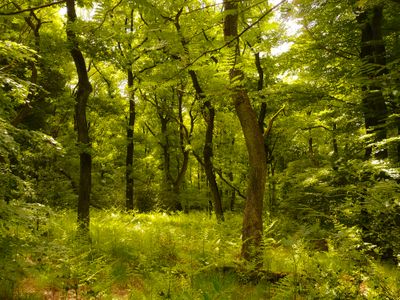
Gevelsberger Stadtwald, protected area in the European Union defined by the habitats directive in Nordrhein-Westfalen, Germany
Location: Gevelsberg
Location: Ennepetal
Inception: 2000
GPS coordinates: 51.31922,7.38069
Latest update: March 17, 2025 14:19
Kluterthöhle
2.9 km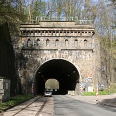
Kruiner Tunnel
2.9 km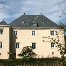
Rocholz manor
1.8 km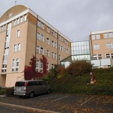
Rathaus Ennepetal
2.6 km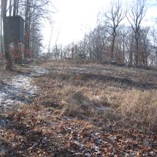
Hageböllinger Kopf
827 m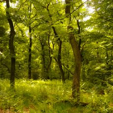
Gevelsberger Stadtwald
799 m
Haus der Begegnung
1.3 km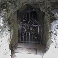
Kluterthöhle und Bismarckhöhle
2.9 km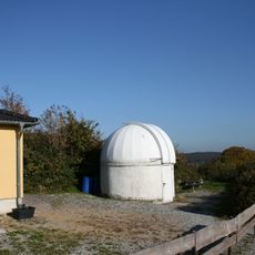
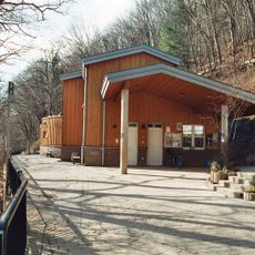
Volkssternwarte Ennepetal
1.4 km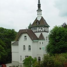
Villa Altenloh
3 km
Heimhardtsbau
1.2 km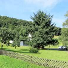
Aske
2.1 km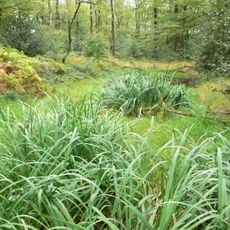
Flachsteich nördlich Meininghausen
1.7 km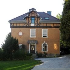
Villa Ebbinghaus
2.5 km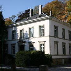
Milsper Straße 14
1.1 km
Feuchtgebiet Aske
1.9 km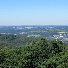
LSG-Im Lonscheid
2.8 km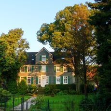
Neuer Höfinghoff
1.7 km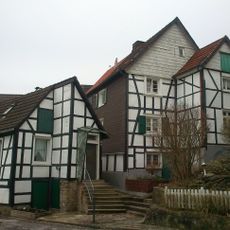
Häusergruppe Hinnenberger Straße 5, 5a, 5b
1.1 km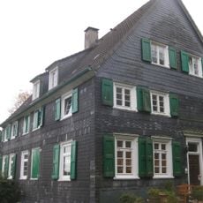
Hofeshaus Altenloh
2.2 km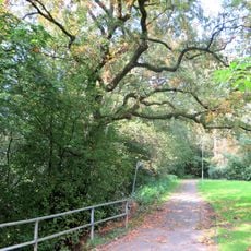
Quambusch
2.9 km
Milsper Straße
1.2 km
Industriemuseum Ennepetal
2.8 km
Distelstück
2.7 km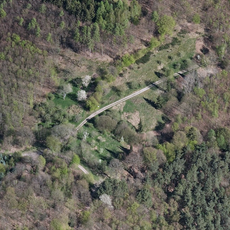
Ehemalige Hofstelle Rönsel
2.6 km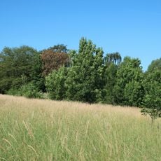
Feuchtgebiet Stall
2.2 km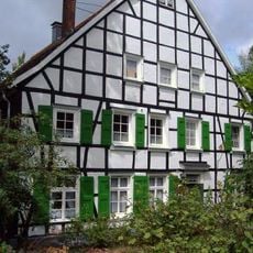
Haus Lohmann
2.6 km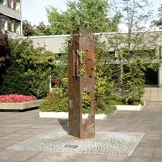
Memory and Vigilance
2.8 kmReviews
Visited this place? Tap the stars to rate it and share your experience / photos with the community! Try now! You can cancel it anytime.
Discover hidden gems everywhere you go!
From secret cafés to breathtaking viewpoints, skip the crowded tourist spots and find places that match your style. Our app makes it easy with voice search, smart filtering, route optimization, and insider tips from travelers worldwide. Download now for the complete mobile experience.

A unique approach to discovering new places❞
— Le Figaro
All the places worth exploring❞
— France Info
A tailor-made excursion in just a few clicks❞
— 20 Minutes