Enable Location

We need your location to show you interesting places around you

Discover nearby places

Find interesting locations and hidden gems around you

Precise directions

Get accurate directions and distances to places

Your location is never shared with other users. It's only used when you tap the location button.

Hageböllinger Kopf

Log in to your account

Start exploring — it's free

Trusted by 61,987 travelers worldwide

Continue with Google
Continue with Apple
or

We will send you a code to connect

By continuing, you accept our Terms and Conditions and our Privacy Policy

Check your inbox

We've sent a pincode in your inbox. Please enter the code below.

Hageböllinger Kopf

Hageböllinger Kopf, Mountain summit in Ennepetal, Germany.

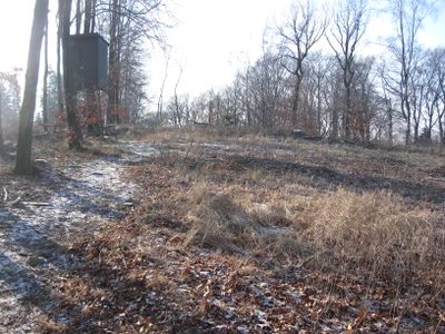
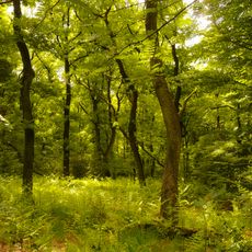
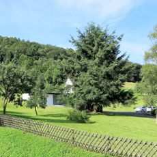
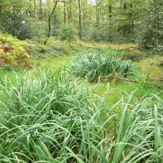
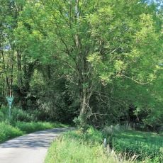
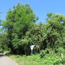
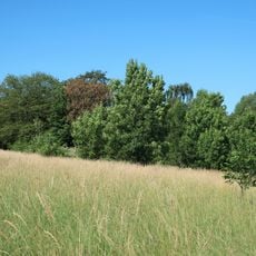
Hageböllinger Kopf is a 326-meter-high summit covered in dense forest and crossed by established hiking trails that run between Ennepetal and Gevelsberg. The terrain features natural slopes and woodland vegetation typical of the Bergisches Land region.

The mountain takes its name from the settlement of Hagebölling situated at its base, reflecting a long-standing link between local communities and this geographical feature. This naming tradition demonstrates how rural villages and natural landmarks became connected through centuries of local history.

Several hiking trails cross the summit and reveal how local residents have long used these heights for outdoor pursuits. These paths remain popular gathering routes that shape leisure activities for people in the surrounding area.

The summit sits between federal road B7 and the Elberfeld-Dortmund railway line, creating several entry points for walkers throughout the year. Sturdy footwear is recommended due to woodland terrain and natural conditions.

The mountain forms a natural border between the two municipalities, and its northern slope drops sharply toward the Ennepe valley far below. This distinctive position makes it a landmark point that helps visitors understand the region's geography.

The community of curious travelers

AroundUs brings together thousands of curated places, local tips, and hidden gems, enriched daily by 60,000 contributors worldwide.

Start exploring
Location
Location
Elevation above the sea
326 m
GPS coordinates
51.32235,7.36991
Latest update
December 14, 2025 20:31
« Hageböllinger Kopf - Mountain summit in Ennepetal, Germany » is provided by Around Us (aroundus.com). Images and texts are derived from Wikimedia project under a Creative Commons license. You are allowed to copy, distribute, and modify copies of this page, under the conditions set by the license, as long as this note is clearly visible.

Discover hidden gems everywhere you go!

From secret cafés to breathtaking viewpoints, skip the crowded tourist spots and find places that match your style. Our app makes it easy with voice search, smart filtering, route optimization, and insider tips from travelers worldwide. Download now for the complete mobile experience.

Around Us App Screenshot

A unique approach to discovering new places

Le Figaro

All the places worth exploring

France Info

A tailor-made excursion in just a few clicks

20 Minutes

Around Us
Travel Guide & Maps
Download

Send to your phone

QR Code
1

Open the camera app on your mobile.

2

Point at the QR code with your camera. A notification will appear.

3

Tap the notification to open the link.