Enable Location

We need your location to show you interesting places around you

Discover nearby places

Find interesting locations and hidden gems around you

Precise directions

Get accurate directions and distances to places

Your location is never shared with other users. It's only used when you tap the location button.

Gevelsberg

Log in to your account

Start exploring — it's free

Trusted by 61,990 travelers worldwide

Continue with Google
Continue with Apple
or

We will send you a code to connect

By continuing, you accept our Terms and Conditions and our Privacy Policy

Check your inbox

We've sent a pincode in your inbox. Please enter the code below.

Gevelsberg, Administrative town in Ennepe-Ruhr district, Germany

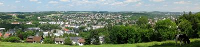
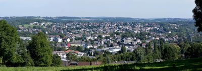
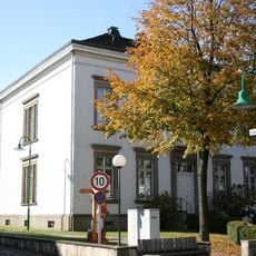
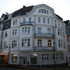
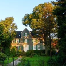
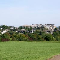
Gevelsberg is a medium-sized town in the Ennepe-Ruhr district located between Wuppertal and Hagen at approximately 160 meters elevation. The municipality covers about 26 square kilometers in North Rhine-Westphalia.

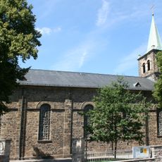
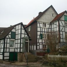
The settlement developed following the murder of Archbishop Engelbert II of Berg in 1225, which led to the establishment of a monastery in the area. This religious foundation became the starting point for the location's subsequent growth.

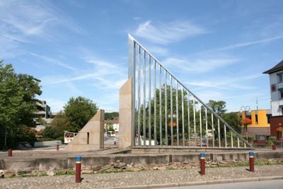
The coat of arms displays a brick gable on a green hill alongside a gear symbol, reflecting the town's industrial roots. These visual symbols connect to the manufacturing and craft traditions that shaped the community for generations.

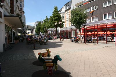
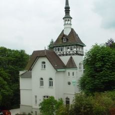
The town has four train stations connecting to regional lines and is easily reached via the A1 autobahn and Federal Roads B7 and B234. Visitors should expect that the terrain between valleys and elevated areas creates varied walking conditions throughout the town.

The local Gevelsberg Kirmes festival occurs every year on the last weekend of June and draws residents and visitors together. Quellenfest runs from Ascension Thursday through Sunday, offering another festive opportunity that many travelers overlook.

The community of curious travelers

AroundUs brings together thousands of curated places, local tips, and hidden gems, enriched daily by 60,000 contributors worldwide.

Start exploring
Elevation above the sea
160 m
Shares border with
Ennepetal, Sprockhövel, Schwelm, Wetter
GPS coordinates
51.32645,7.35590
Latest update
December 14, 2025 20:52
Administrative divisions
« Gevelsberg - Administrative town in Ennepe-Ruhr district, Germany » is provided by Around Us (aroundus.com). Images and texts are derived from Wikimedia project under a Creative Commons license. You are allowed to copy, distribute, and modify copies of this page, under the conditions set by the license, as long as this note is clearly visible.

Discover hidden gems everywhere you go!

From secret cafés to breathtaking viewpoints, skip the crowded tourist spots and find places that match your style. Our app makes it easy with voice search, smart filtering, route optimization, and insider tips from travelers worldwide. Download now for the complete mobile experience.

Around Us App Screenshot

A unique approach to discovering new places

Le Figaro

All the places worth exploring

France Info

A tailor-made excursion in just a few clicks

20 Minutes

Around Us
Travel Guide & Maps
Download

Send to your phone

QR Code
1

Open the camera app on your mobile.

2

Point at the QR code with your camera. A notification will appear.

3

Tap the notification to open the link.