
Teutoburger Wald, Kleiner Berg, protected area in the European Union defined by the habitats directive in Niedersachsen, Germany
Location: Melle
Location: Dissen am Teutoburger Wald
Location: Hilter
Location: Bad Iburg
Location: Bad Laer
Location: Bad Rothenfelde
Inception: 1999
GPS coordinates: 52.13421,8.13219
Latest update: March 31, 2025 01:30
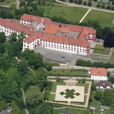
Iburg Castle
6.4 km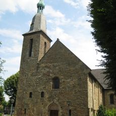
Kloster Oesede
7.5 km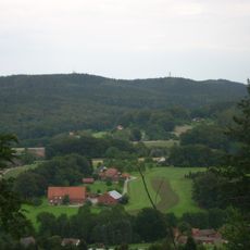
Dörenberg
7.1 km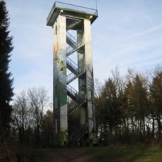
Hermannsturm
7.1 km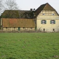
Burg Scheventorf
6.6 km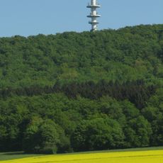
Fernmeldeturm Dissen
6.2 km
Limberg
4.9 km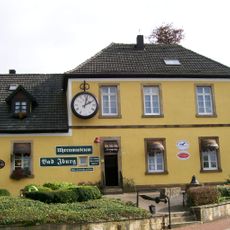
Uhrenmuseum Bad Iburg
6.4 km
Schleppenburg
6.6 km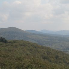
Hankenüll
8 km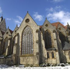
Church of the Nativity of the Virgin Mary
4.6 km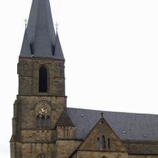
St. Jakobus der Ältere
5.6 km
Holy Spirit Church (Oesede, Georgsmarienhütte)
8 km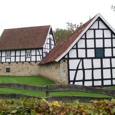
Averbecks Speicher
5.4 km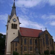
Johannes-der-Täufer-Kirche
1 km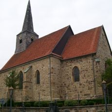
Fleckenskirche St. Nikolaus
6.5 km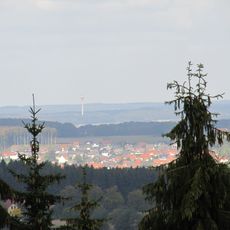
Hohns-Berg
3.9 km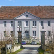
Schloss Palsterkamp
3.9 km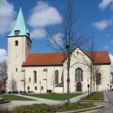
St. Mauritius (Dissen)
5.4 km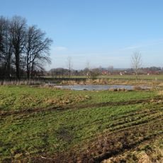
Salzenteichs Heide
7.6 km
Großsteingrab Laer
5 km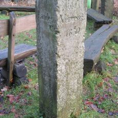
Gauß stone
7.1 km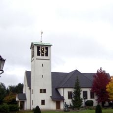
St.Antonius-Kirche (Remsede)
1.9 km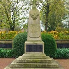
World War memorial Glane
5.6 km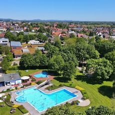
Sole-Freibad
5.1 km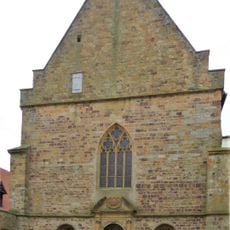
Church of St Clemens
6.7 km
Freeden
4.5 km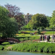
Teutoburger Wald
4.3 kmReviews
Visited this place? Tap the stars to rate it and share your experience / photos with the community! Try now! You can cancel it anytime.
Discover hidden gems everywhere you go!
From secret cafés to breathtaking viewpoints, skip the crowded tourist spots and find places that match your style. Our app makes it easy with voice search, smart filtering, route optimization, and insider tips from travelers worldwide. Download now for the complete mobile experience.

A unique approach to discovering new places❞
— Le Figaro
All the places worth exploring❞
— France Info
A tailor-made excursion in just a few clicks❞
— 20 Minutes