
Ackerplateau zwischen Ilbesheim und Flomborn, special protection areas in Rheinland-Pfalz, Germany
Location: Bischheim
Location: Rittersheim
Location: Gauersheim
Location: Stetten
Location: Einselthum
Location: Zellertal
Location: Mölsheim
Location: Flörsheim-Dalsheim
Location: Ober-Flörsheim
Location: Flomborn
Location: Ilbesheim
Location: Wahlheim
Location: Freimersheim
Location: Esselborn
Inception: 2006
GPS coordinates: 49.68063,8.13549
Latest update: March 30, 2025 18:47
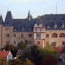
Alzey Castle
7.4 km
Pfrimm Viaduct
8 km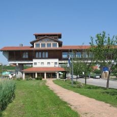
Haus der Deutschen Weinstraße
8.6 km
Wartbergturm
6.1 km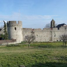
Fleckenmauer Dalsheim
5.4 km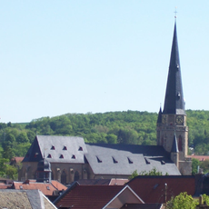
Nikolaikirche
7.3 km
Emichsburg
8.4 km
Burg Wachenheim
5.4 km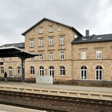
Monsheim station
7.4 km
Kleine Kirche
7.5 km
Saint Peter Church
5.9 km
Dinotherium-Museum
3.6 km
Protestantische Kirche in Rüssingen
7.8 km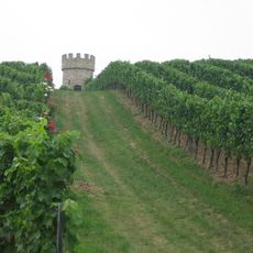
Dalsheimer Hubacker
5.1 km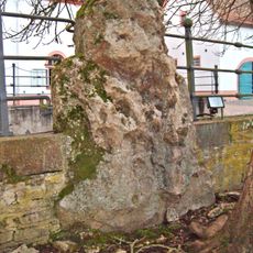
Hinkelstein
6.9 km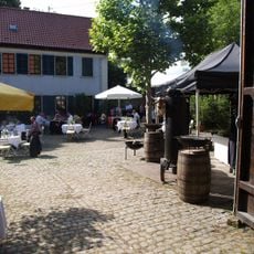
Mohrenmühle
8.2 km
Burggrafiat
7.4 km
Protestantische Pfarrkirche
5.1 km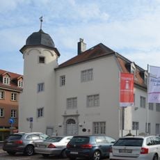
Museum der Stadt Alzey
7.6 km
Brunnen Weinheim
7.3 km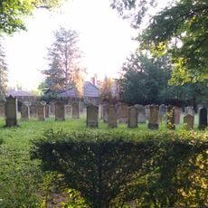
Jüdischer Friedhof Alzey
7.9 km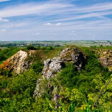
Kalksteinbrüche Rosengarten
3.4 km
Jüdischer Friedhof (Albisheim)
4.3 km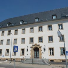
Finanzamt Alzey
7.2 km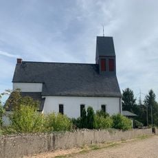
St. Ägidius
4.4 km
GUT LEBEN am Morstein
8.5 km
Stadthalle Alzey
7.2 km
Heiligenblut-Tower
7.6 kmReviews
Visited this place? Tap the stars to rate it and share your experience / photos with the community! Try now! You can cancel it anytime.
Discover hidden gems everywhere you go!
From secret cafés to breathtaking viewpoints, skip the crowded tourist spots and find places that match your style. Our app makes it easy with voice search, smart filtering, route optimization, and insider tips from travelers worldwide. Download now for the complete mobile experience.

A unique approach to discovering new places❞
— Le Figaro
All the places worth exploring❞
— France Info
A tailor-made excursion in just a few clicks❞
— 20 Minutes