
Zwester Ohm, protected area in the European Union defined by the habitats directive in Hessen, Germany
Location: Marburg-Biedenkopf
Inception: 2004
GPS coordinates: 50.71298,8.76308
Latest update: March 3, 2025 08:48

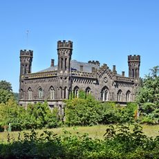
Friedelhausen Castle
4.7 km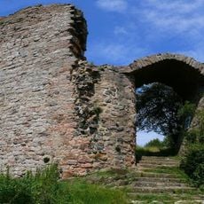
Frauenberg
5.1 km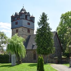
Kirche Fronhausen
5 km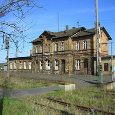
Niederwalgern station
4.7 km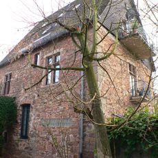
Oberburg
4.9 km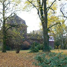
Fronhausen Castle
4.8 km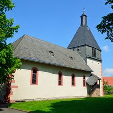
Kloster Hachborn
2.1 km
Toten Berg
4.3 km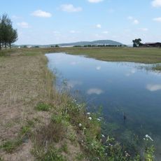
Par-Allna
3.6 km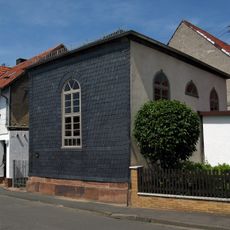
Landsynagoge
3.1 km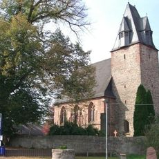
Wehrkirche Wenkbach
4.9 km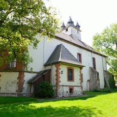
Wehrkirche Ebsdorf
4.1 km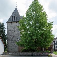
Kirche Leidenhofen
4.2 km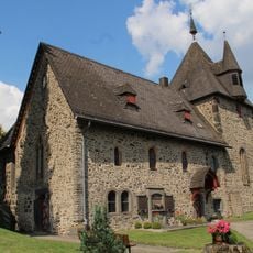
Evangelische Kirche Winnen (Allendorf/Lumda)
5.1 km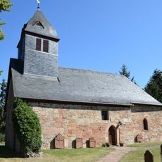
Kirche Wolfshausen
2.7 km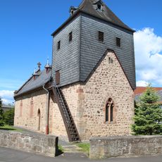
Church of Bortshausen
4.4 km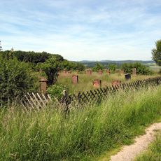
Jewish cemetery, Roth
2.9 km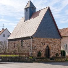
Church of Ronhausen
4.7 km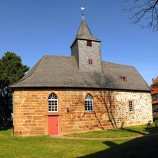
Kirche Bellnhausen
3.3 km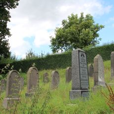
Jüdischer Friedhof Treis an der Lumda
5 km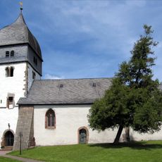
Kirche Niederwalgern
5.1 km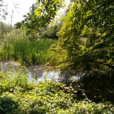
Lahntal zwischen Marburg und Gießen
3.6 km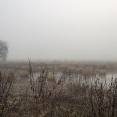
Lahnaltarm von Bellnhausen
3.3 km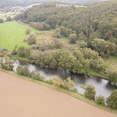
Unterm Wolfsberg
4.5 km
Totenberg
5 km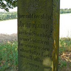
Gedenkstein
4.1 km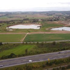
Lahntal zwischen Marburg und Gießen
587 m
Lahnaltarm von Bellnhausen
3.2 kmReviews
Visited this place? Tap the stars to rate it and share your experience / photos with the community! Try now! You can cancel it anytime.
Discover hidden gems everywhere you go!
From secret cafés to breathtaking viewpoints, skip the crowded tourist spots and find places that match your style. Our app makes it easy with voice search, smart filtering, route optimization, and insider tips from travelers worldwide. Download now for the complete mobile experience.

A unique approach to discovering new places❞
— Le Figaro
All the places worth exploring❞
— France Info
A tailor-made excursion in just a few clicks❞
— 20 Minutes