
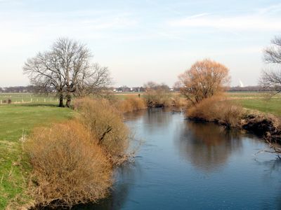
Aller , untere Leine, untere Oker, protected area in the European Union defined by the habitats directive in Niedersachsen, Germany
Location: Hanover region
Inception: 1999
GPS coordinates: 52.62534,9.97267
Latest update: March 7, 2025 11:49

Celle Castle
7.1 km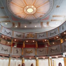
Schlosstheater Celle
7.1 km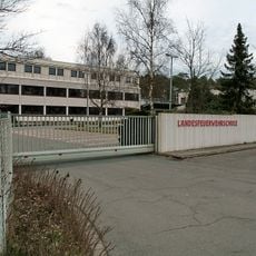
Niedersächsisches Landesamt für Brand- und Katastrophenschutz
5.6 km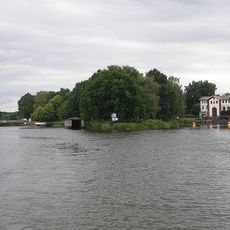
Oldau barrage
4.5 km
Gut Rixförde
4.8 km
Winsen Museum Farm
7.1 km
Residence Museum in the Celle Palace
7.1 km
Celler Garnison-Museum
7 km
Evangelisch-reformierte Kirche
7 km
Wohnhausgruppe Waack
6.6 km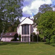
St. Hedwig
5.1 km
Rektorwohnhaus
7.2 km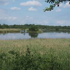
Entenfang Boye und Grobebach
4.6 km
Kirche Heilige Schutzengel
578 m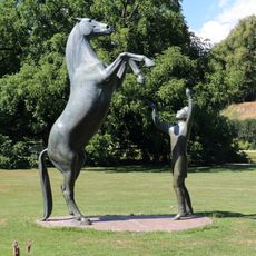
Hengst Wohlklang in der Freiheitsdressur
7.1 km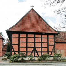
Bonifatiuskirche
6.3 km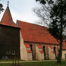
St. Cyriacus-Kirche
6.4 km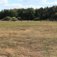
Untere Allerniederung bei Boye
3.9 km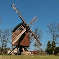
Bockwindmühle Winsen
6.8 km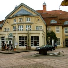
Congress Union Celle
7.1 km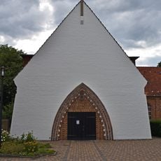
Martin-Luther-Kirche
7 km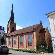
Neuenhäuser Kirche
6.7 km
Hafenstraßenbrücke
7.2 km
Ratsmühle
7.1 km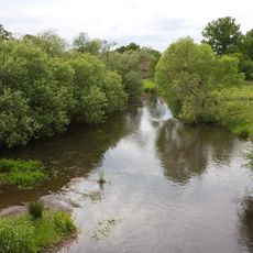
Oertzetal von Müden bis zur Mündung in die Aller
6.1 km
Herrenhaus Dasselsbruch
6.7 km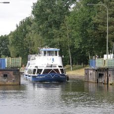
Oldau lock
4.6 km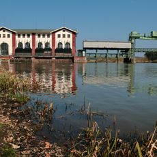
Oldau power station
4.5 kmReviews
Visited this place? Tap the stars to rate it and share your experience / photos with the community! Try now! You can cancel it anytime.
Discover hidden gems everywhere you go!
From secret cafés to breathtaking viewpoints, skip the crowded tourist spots and find places that match your style. Our app makes it easy with voice search, smart filtering, route optimization, and insider tips from travelers worldwide. Download now for the complete mobile experience.

A unique approach to discovering new places❞
— Le Figaro
All the places worth exploring❞
— France Info
A tailor-made excursion in just a few clicks❞
— 20 Minutes