
Teilflächen und Gewässerstrukturen im Meroder und Laufenburger Wald, nature reserve in Germany
Location: Langerwehe
Inception: 2014
GPS coordinates: 50.77085,6.38114
Latest update: March 31, 2025 01:33
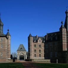
Schloss Merode
3.2 km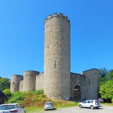
Laufenburg
2.8 km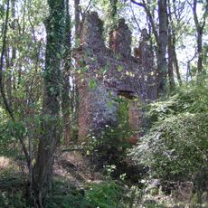
Kloster Schwarzenbroich
1.1 km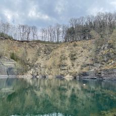
Schevenhütte Quarry
3.5 km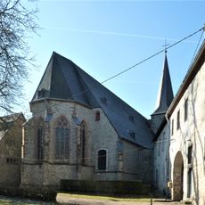
St. Katharina
3.8 km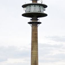
Fernmeldeturm Großhau
4.1 km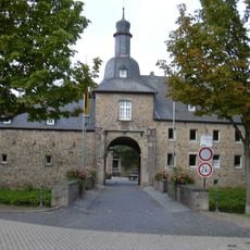
Burg Birgel
4.5 km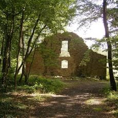
Karlsburg
4.5 km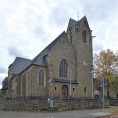
St Martin's Church
3.9 km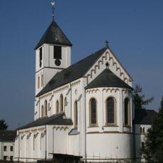
St. Martinus
4.6 km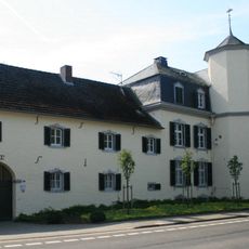
Weiherhof
3.9 km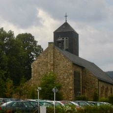
St. Antonius
3.8 km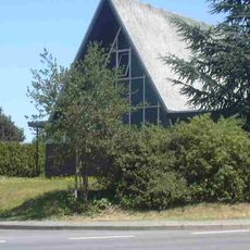
Marienkapelle
4.5 km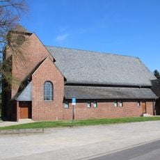
St. Martinus D’horn
3.9 km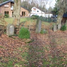
Jüdischer Friedhof
3.8 km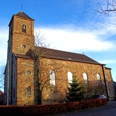
St. Apollonia
4.1 km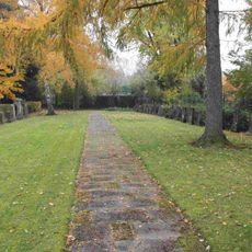
Gürzenich Jewish cemetery
4.3 km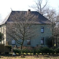
Haus Gronau
4.4 km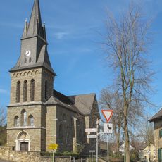
St. Josef
4 km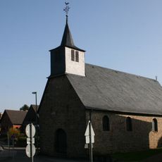
Kapelle Birgel
4.6 km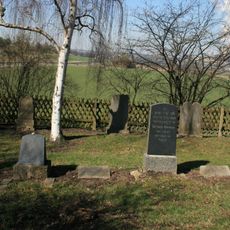
Jüdischer Friedhof (Langerwehe)
4.4 km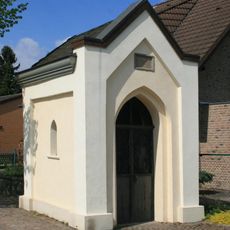
Urbanuskapelle
3.9 km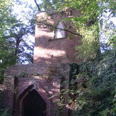
Mona-Lisa tower
3.9 km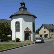
Katholische Kapelle
4.6 km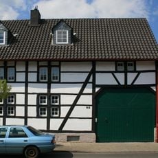
Agathastraße 92
4.2 km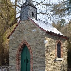
Donatuskapelle
4.4 km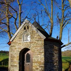
Marienkapelle
4.3 km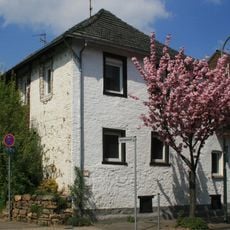
Agathastraße 40
4.6 kmReviews
Visited this place? Tap the stars to rate it and share your experience / photos with the community! Try now! You can cancel it anytime.
Discover hidden gems everywhere you go!
From secret cafés to breathtaking viewpoints, skip the crowded tourist spots and find places that match your style. Our app makes it easy with voice search, smart filtering, route optimization, and insider tips from travelers worldwide. Download now for the complete mobile experience.

A unique approach to discovering new places❞
— Le Figaro
All the places worth exploring❞
— France Info
A tailor-made excursion in just a few clicks❞
— 20 Minutes