
Manteler Forst, special protection areas in Bayern, Germany
Location: Neustadt an der Waldnaab
Inception: 2006
GPS coordinates: 49.68607,12.05334
Latest update: March 13, 2025 11:25
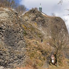
Basaltkegel Parkstein
5.2 km
Christoph 80
4.7 km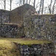
Burg Parkstein
5.2 km
Schloss Steinfels
5 km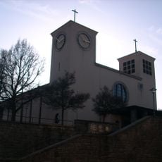
Herz-Jesu-Kirche
7.3 km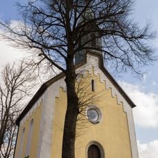
Vierzehn Nothelfer
5.2 km
St. Dionysius
3.8 km
St. Pankratius
5.3 km
St. Moritz
4.4 km
Forstamt Mantel
4 km
Dionysiuskirche
3.9 km
Schloss Rupprechtsreuth
2.3 km
Heilige Familie (Weiherhammer)
5.9 km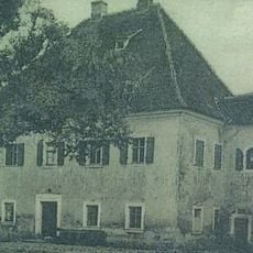
Ehemaliges Schloss
7.4 km
Katholische Expositurkirche St. Peter und Paul
3.8 km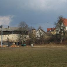
Evangelisch-Lutherische Pfarrkirche St. Peter und Paul
3.9 km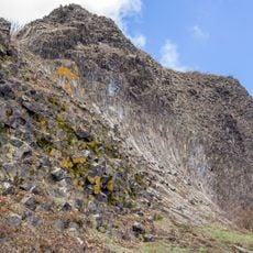
Parkstein
5.2 km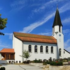
St. Nikolaus
6.8 km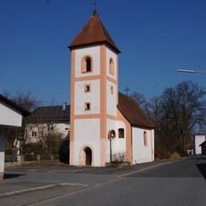
St. Laurentius
6.4 km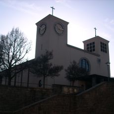
Katholische Stadtpfarrkirche Herz Jesu
7.3 km
Schweinenaabniederung - Waldgebiet Moosloh - Sauerbachniederung
5 km
Evangelisch-lutherisches Pfarrhaus
3.8 km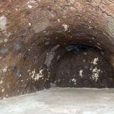
Felsenkeller in Parkstein
5.3 km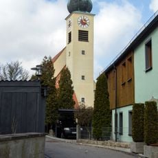
Cultural heritage D-3-6238-0032 in Parkstein
5.4 km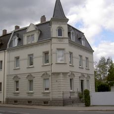
Sintzelstraße 4
7.3 km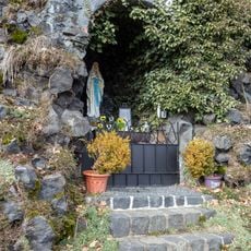
Lourdeskapelle
5.2 km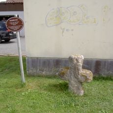
Steinkreuz
3.3 km
Kapuzinergasse 6
5.3 kmReviews
Visited this place? Tap the stars to rate it and share your experience / photos with the community! Try now! You can cancel it anytime.
Discover hidden gems everywhere you go!
From secret cafés to breathtaking viewpoints, skip the crowded tourist spots and find places that match your style. Our app makes it easy with voice search, smart filtering, route optimization, and insider tips from travelers worldwide. Download now for the complete mobile experience.

A unique approach to discovering new places❞
— Le Figaro
All the places worth exploring❞
— France Info
A tailor-made excursion in just a few clicks❞
— 20 Minutes