
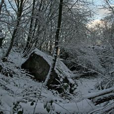
Erft- und Sülchesbachtal mit Seitentälern, nature reserve in Germany
Location: Nettersheim
Inception: 2003
GPS coordinates: 50.48945,6.74471
Latest update: April 5, 2025 23:39
Felsennest
6.5 km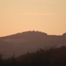
Michelsberg
6.2 km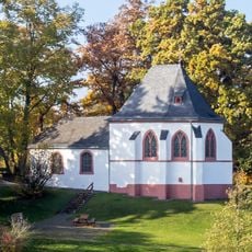
Ahekapelle
6 km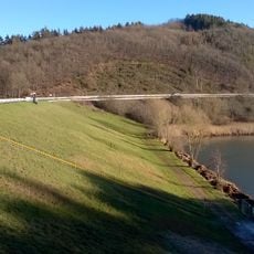
Hochwasserrückhaltebecken Eicherscheid
4.9 km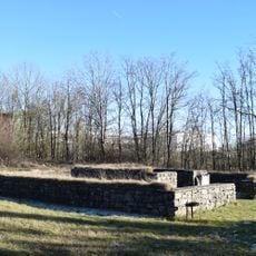
Tempelheiligtum Zingsheim
6.7 km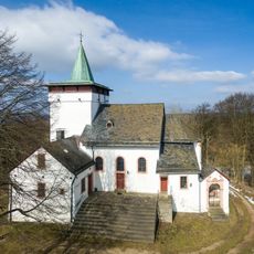
St. Michael
6.2 km
Burg Rohr
4.2 km
Burg Lindweiler
3.5 km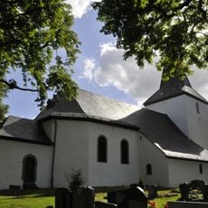
St. Peter
6.5 km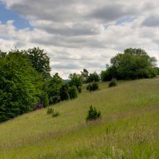
Eschweiler Tal und Kalkkuppen
6.7 km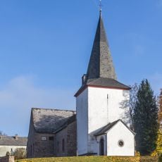
St. Luzia
4.8 km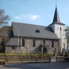
St. Margareta
2.6 km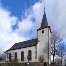
Church of St Lambertus
2.9 km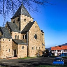
St. Willibrord
6.8 km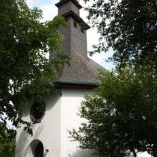
St. Barbara (Pitscheid)
6.5 km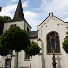
St. Cyriacus
3.8 km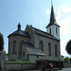
St. Wendelin
4 km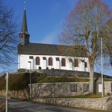
St. Johann Baptist
6.2 km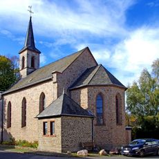
St. Bartholomäus
1.1 km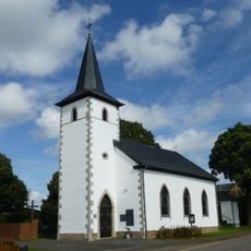
St. Maternus und St. Antonius
2.9 km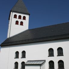
St. Vincentius (Wershofen)
7 km
Ehemalige Kapelle St. Antonius Eremita
4.2 km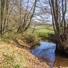
Genfbachtal südöstlich Nettersheim
6.7 km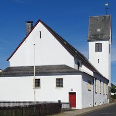
St. Hermann Josef
4.9 km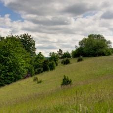
Jakob-Kneip-Berg
6.5 km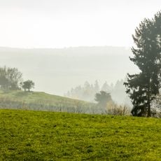
Landschaftsschutzgebiet Blankenheimer Kalkrücken Nordost
2.1 km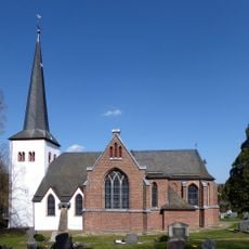
St. Goar
3.2 km
Mülheim train station
6.5 kmReviews
Visited this place? Tap the stars to rate it and share your experience / photos with the community! Try now! You can cancel it anytime.
Discover hidden gems everywhere you go!
From secret cafés to breathtaking viewpoints, skip the crowded tourist spots and find places that match your style. Our app makes it easy with voice search, smart filtering, route optimization, and insider tips from travelers worldwide. Download now for the complete mobile experience.

A unique approach to discovering new places❞
— Le Figaro
All the places worth exploring❞
— France Info
A tailor-made excursion in just a few clicks❞
— 20 Minutes