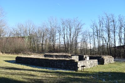
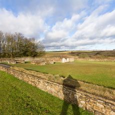
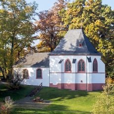
Tempelheiligtum Zingsheim, Roman temple in Zingsheim, Germany.
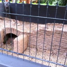
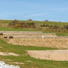
Tempelheiligtum Zingsheim is an ancient Roman temple with a rectangular plan, built from graywacke and limestone featuring a central sacred chamber. The remaining foundations stand roughly one meter high and show the structural design of a former wooden roof.
The temple was built during Roman times, demonstrating an architectural style that blended Roman and local building traditions. Excavation work in 1963 revealed crucial information about the structure's orientation and how it was constructed.
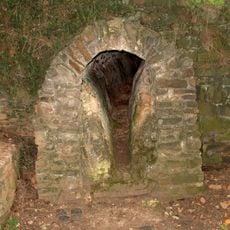
Inscriptions and votive stones found here reveal which deities people worshipped and how they expressed their devotion through carved dedications. Today you can observe these carved messages directly and sense the spiritual importance this place held for its community.
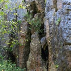
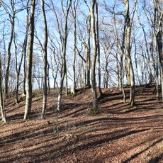
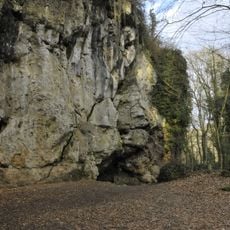
The site sits along the Kräuterpfad trail between Nettersheim and Bad Münstereifel and is easily reached on foot. The remains are openly accessible and can be explored during a walk, with the modest height of the walls making the ground straightforward to navigate.
Among the finds from excavation were a yellow sandstone hand sculpture and fragments of stones bearing partially preserved inscriptions. These personal objects reveal how worshippers expressed their prayers and gratitude, offering insight into the everyday religious practices of that era.
The community of curious travelers
AroundUs brings together thousands of curated places, local tips, and hidden gems, enriched daily by 60,000 contributors worldwide.