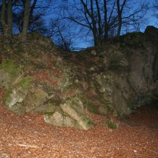
Görresburg, Archaeological site in Nettersheim, Germany.
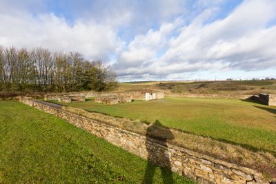
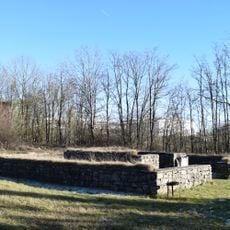
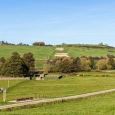
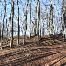
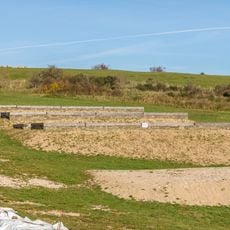
Görresburg is an archaeological site in Nettersheim with remains of a Roman temple, residential buildings, fortifications, and original street layouts from the ancient Marcomagus settlement. The location spans a landscape where visitors can explore these different structures in their original spatial arrangement.
The site was an important religious and trading center during Roman rule, positioned on a strategic route between the provincial cities of Trier and Cologne. Archaeological evidence shows this place functioned as a religious and economic hub for the region over several centuries.
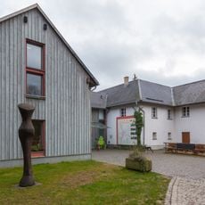
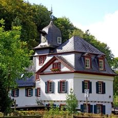
The visitor center displays original Roman artifacts from excavations and offers programs explaining the archaeological finds and regional Roman heritage. Visitors can learn about daily life and beliefs of the people who once inhabited this settlement.
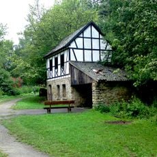
A walking loop connects visitors through the site, with the visitor center serving as a reference point for orientation and information. The paths are accessible and allow exploration of the different areas at your own pace.
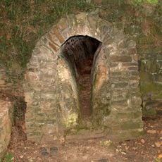
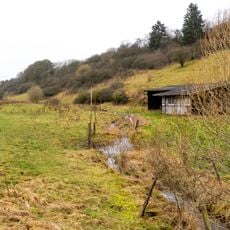
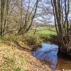
Grüner Pütz marks the starting point of an ancient water pipeline system that carried fresh spring water to Cologne over long distances. This engineering feat demonstrates Roman technical knowledge and organizational capability.
The community of curious travelers
AroundUs brings together thousands of curated places, local tips, and hidden gems, enriched daily by 60,000 contributors worldwide.