Nettersheim, municipality in the Euskirchen district, in North Rhine-Westphalia, Germany
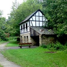
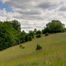
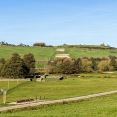
Nettersheim is a rural municipality in the Euskirchen district, in the heart of the Eifel region in Germany. It consists of several small villages surrounded by forests, meadows, and gently rolling valleys.
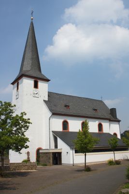
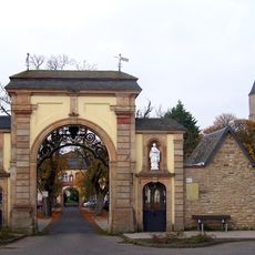
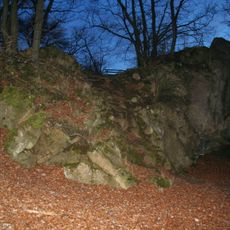
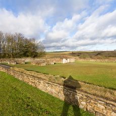
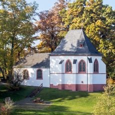
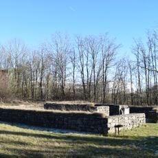
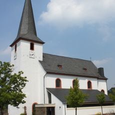
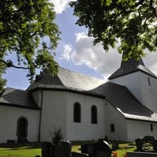
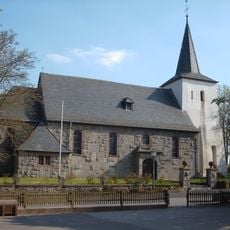
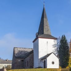
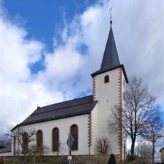
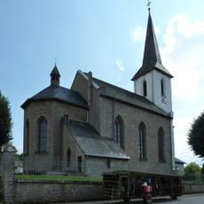
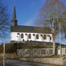
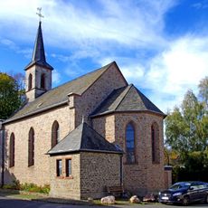
During Roman times, the area around Nettersheim was an important crossing point, with temples, an aqueduct, and settlement remains that are still found in the ground today. In the medieval period, churches and chapels were built across the villages and shaped local life for centuries.
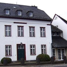
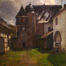
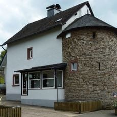
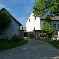
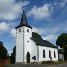
The name Nettersheim traces back to early Germanic settlement forms, and this history is still readable in the landscape today. Walking through the villages, visitors notice farmhouses and chapels built from local limestone that have shaped the look of the area for centuries.
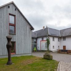
The municipality is best explored on foot or by bicycle, as well-marked trails lead through forests and fields across the area. A local visitor center provides maps and guidance for reaching the archaeological sites and nature paths.
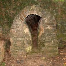
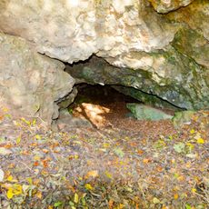
Beneath and around Nettersheim ran one of the longest Roman aqueducts in the region, carrying water across many miles to Cologne. Sections of this aqueduct are still visible above ground and can be followed along walking trails.
The community of curious travelers
AroundUs brings together thousands of curated places, local tips, and hidden gems, enriched daily by 60,000 contributors worldwide.