
Kuhsieferberg östlich Oberhausen, nature reserve in Germany
Location: Schleiden
Inception: 1994
GPS coordinates: 50.51080,6.47034
Latest update: March 30, 2025 23:30
Steinfeld Abbey
6.7 km
Oleftalsperre
3.9 km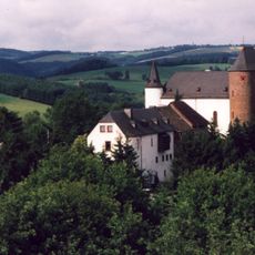
Burg Wildenburg
5.7 km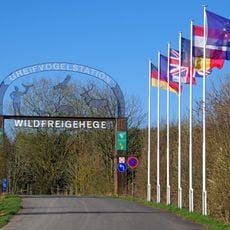
Wildgehege Hellenthal
3.2 km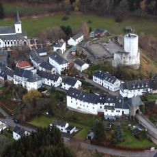
Reifferscheid Castle
3.8 km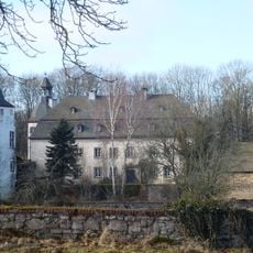
Schloss Dreiborn
5.5 km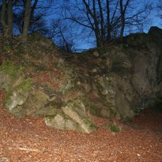
Stolzenburg (Eifel)
6.9 km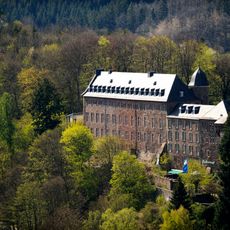
Schloss Schleiden
2 km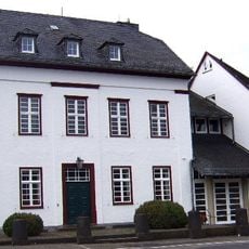
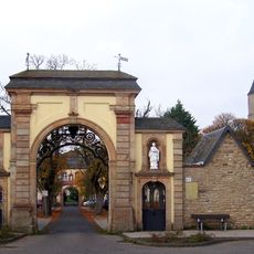
Benedictine Abbey of Steinfeld
6.7 km
Bahnhof Kall
6.9 km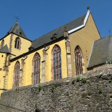
Schlosskirche Schleiden
2 km
St. Matthias
3.9 km
Saint Nicholas Church
6.9 km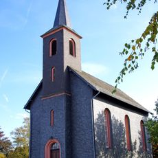
Evangelische Kirche Harperscheid
4.2 km
St. Anna
3.1 km
St. Barbara
6.2 km
Jewish cemetery, Blumenthal
2.5 km
St. Brigida
1.8 km
Manscheider Bachtal und Paulushof
6.6 km
Evangelische Kirche (Hellenthal)
2.8 km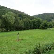
Bachtäler im Truppenübungsplatz Vogelsang
6.8 km
Morsbach 61
5.9 km
Rathaus Schleiden
2.1 km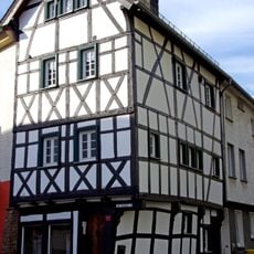
Am Markt 9
2 km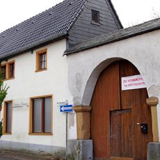
Aachener Straße 13
7.1 km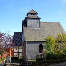
Maria-Hilf-Kapelle
4.8 km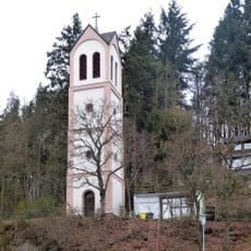
Evangelischer Glockenturm (Hellenthal)
3.1 km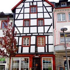
Am Markt 26
2 kmReviews
Visited this place? Tap the stars to rate it and share your experience / photos with the community! Try now! You can cancel it anytime.
Discover hidden gems everywhere you go!
From secret cafés to breathtaking viewpoints, skip the crowded tourist spots and find places that match your style. Our app makes it easy with voice search, smart filtering, route optimization, and insider tips from travelers worldwide. Download now for the complete mobile experience.

A unique approach to discovering new places❞
— Le Figaro
All the places worth exploring❞
— France Info
A tailor-made excursion in just a few clicks❞
— 20 Minutes