
Wieragrund von Schwalmstadt, protected area in Germany
Location: Schwalmstadt
Inception: 1978
GPS coordinates: 50.89250,9.15819
Latest update: March 10, 2025 07:34

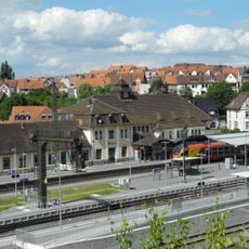
Treysa station
2.8 km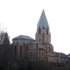
Totenkirche
3.2 km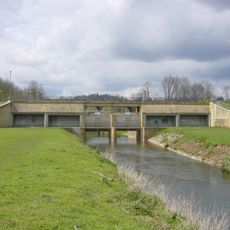
Hochwasserrückhaltebecken Treysa-Ziegenhain
3.6 km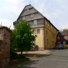
Schloss Willingshausen
5.3 km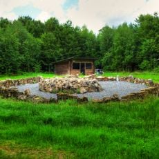
Hügelgrab von Wiera
2.4 km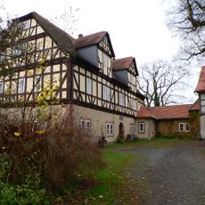
Schloss Rommershausen
4.8 km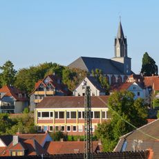
Stadtkirche Treysa
3 km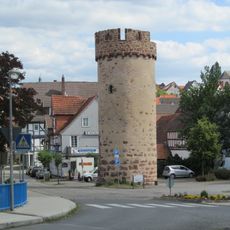
Hexenturm
3.2 km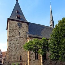
Dreifaltigkeitskirche Neustadt
5.4 km
Heilig-Geist-Hospital
3.2 km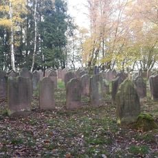
Jüdischer Friedhof Neustadt
3.9 km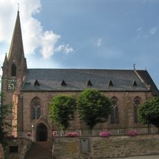
St. Johannes
3.8 km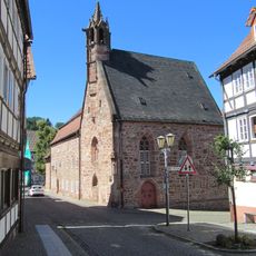
Hospitalkapelle
3.2 km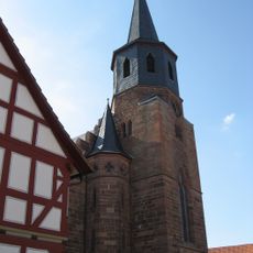
Evangelisch-reformierte Kirche Wasenberg
2.9 km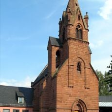
Evangelische Kirche Neustadt
5.4 km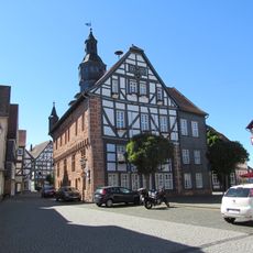
Rathaus Treysa
3.1 km
Kirche Ascherode
4.1 km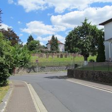
Jüdischer Friedhof Treysa
2.8 km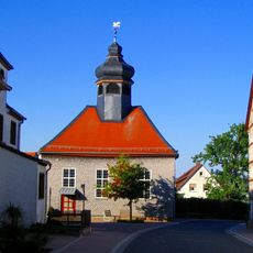
Evangelische Kirche Frankenhain
3.7 km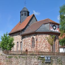
Church of Rommershausen
4.7 km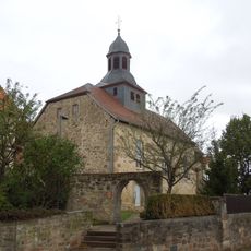
Evangelische Kirche
5.4 km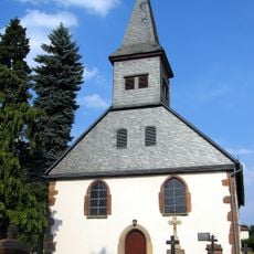
Friedhofskapelle
5.3 km
Hephata Schwalmstadt Church And Memorial
2.6 km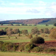
Leistwiesen bei Rommershausen
3.9 km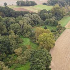
Biedenbacher Teiche bei Florshain
1.5 km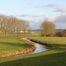
Vogelschutzgebiet Schwalmniederung bei Schwalmstadt
3.7 km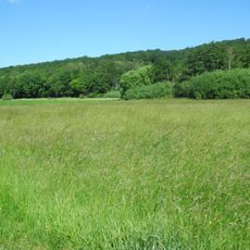
Flachsrasen bei Dittershausen
5.2 km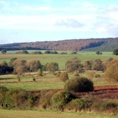
Leistwiesen bei Rommershausen
3.8 kmVisited this place? Tap the stars to rate it and share your experience / photos with the community! Try now! You can cancel it anytime.
Discover hidden gems everywhere you go!
From secret cafés to breathtaking viewpoints, skip the crowded tourist spots and find places that match your style. Our app makes it easy with voice search, smart filtering, route optimization, and insider tips from travelers worldwide. Download now for the complete mobile experience.

A unique approach to discovering new places❞
— Le Figaro
All the places worth exploring❞
— France Info
A tailor-made excursion in just a few clicks❞
— 20 Minutes