
Park bei Gut Vehr, protected landscape in Lower Saxony, Germany
Location: Osnabrück
Inception: 1950
GPS coordinates: 52.67840,7.93909
Latest update: March 9, 2025 01:57
Benediktinerinnenabtei Burg Dinklage
13.6 km
Saint Catherine of Alexandria Church
12.6 km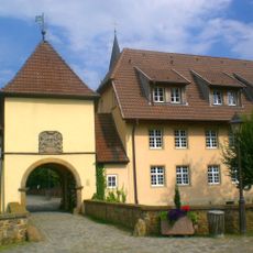
Kloster Bersenbrück
13.7 km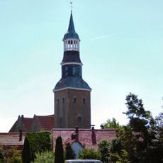
St. Sylvester
1.1 km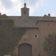
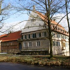
Gut Vehr
283 m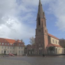
St. Marien
1.3 km
Gut Loxten
10.6 km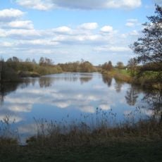
Polder Lüsche
11.2 km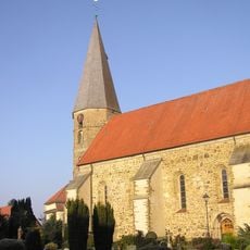
St. Georg
5.8 km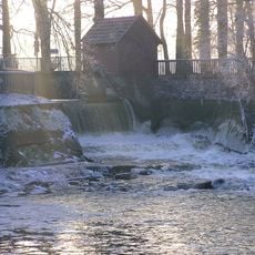
Haseüberfall
3.1 km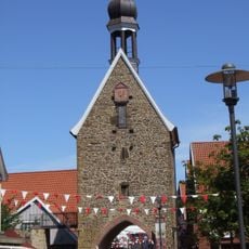
Hohe Pforte
1.3 km
Rathaus
1.2 km
Schulenburg
6.9 km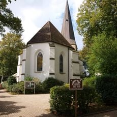
St. Marienkirche
8.2 km
St. Marien
5.7 km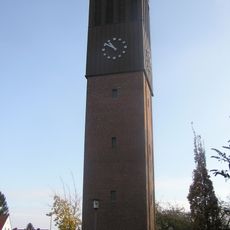
St. Petrus
924 m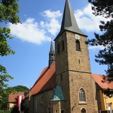
St. Vincentius
13.7 km
St. Paulus
739 m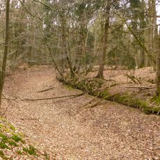
Felddieksboll
10.9 km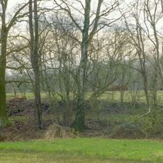
Moorburg (Menslage)
10 km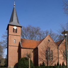
Saint Joseph Church (Lüsche, Bakum)
11.3 km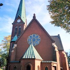
St. Marien
7.2 km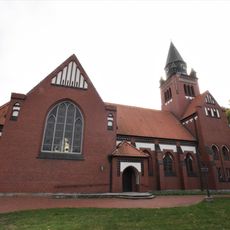
St. Aloysius
9.5 km
Großsteingrab Bockraden
13.7 km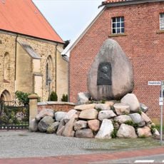
Bismarck-Denkmal
5.8 km
Suddenmoor
13.5 km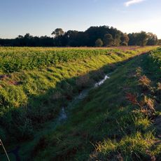
Bäke
7.3 km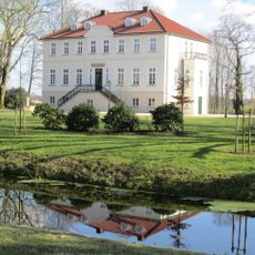
Lager Schloss
8.5 kmReviews
Visited this place? Tap the stars to rate it and share your experience / photos with the community! Try now! You can cancel it anytime.
Discover hidden gems everywhere you go!
From secret cafés to breathtaking viewpoints, skip the crowded tourist spots and find places that match your style. Our app makes it easy with voice search, smart filtering, route optimization, and insider tips from travelers worldwide. Download now for the complete mobile experience.

A unique approach to discovering new places❞
— Le Figaro
All the places worth exploring❞
— France Info
A tailor-made excursion in just a few clicks❞
— 20 Minutes