
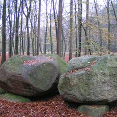
Sager Schweiz, protected landscape in Lower Saxony, Germany
Location: Oldenburg
Inception: 1976
GPS coordinates: 52.93500,8.22149
Latest update: April 23, 2025 06:50
Visbeker Braut und Bräutigam
8.4 km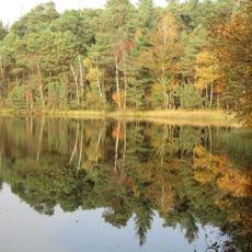
Ahlhorner Fischteiche
5.3 km
Oldenburg (1930)
4 km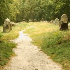
Visbeker Braut
8.4 km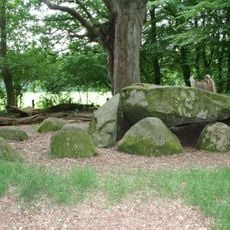
Großsteingrab Heidenopfertisch
7.2 km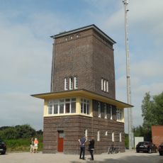
Stellwerk Ahlhorn
4.5 km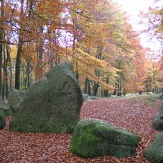
Visbeker Bräutigam
7 km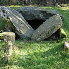
Ahlhorner Kellersteine
7.2 km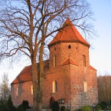
St. Briccius-Kirche
7.4 km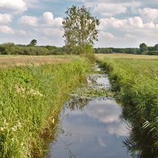
Poggenpohlsmoor
8.7 km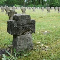
Kriegsgräberstätte Sannum
8.2 km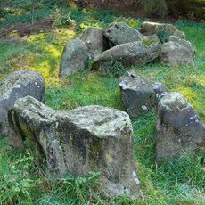
Steinloger Kellersteine
8.1 km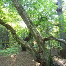
Baumweg
7 km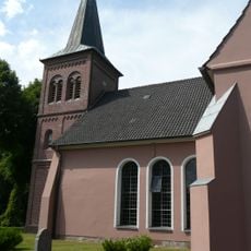
St.-Marien-Kirche (Großenkneten)
2.6 km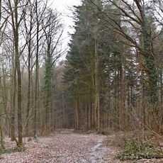
Döhler Wehe
5.6 km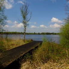
Sager Meere, Kleiner Sand und Heumoor
6.9 km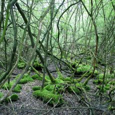
Huntloser Moor
5.7 km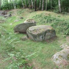
Großsteingrab Bakenhus
1.7 km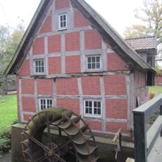
Heinefelder Wassermühle
7.3 km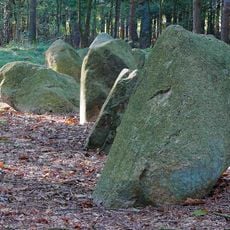
Großsteingrab Ahlhorn
6.7 km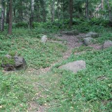
Großsteingräber bei Huntlosen
5.5 km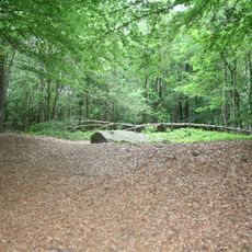
Visbeker Bräutigam
6.9 km
Hegeler Wald, Döhler Wehe, Kahleberg, Scharpenberg
6.5 km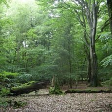
NSG Baumweg
6.9 km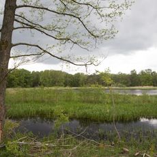
Ahlhorner Fischteiche
6.7 km
Döhler Wehe
5.5 km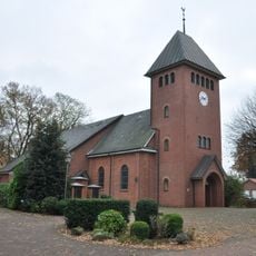
St. Josef
8.1 km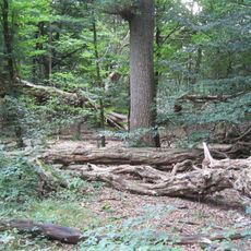
Urwald Baumweg
7 kmReviews
Visited this place? Tap the stars to rate it and share your experience / photos with the community! Try now! You can cancel it anytime.
Discover hidden gems everywhere you go!
From secret cafés to breathtaking viewpoints, skip the crowded tourist spots and find places that match your style. Our app makes it easy with voice search, smart filtering, route optimization, and insider tips from travelers worldwide. Download now for the complete mobile experience.

A unique approach to discovering new places❞
— Le Figaro
All the places worth exploring❞
— France Info
A tailor-made excursion in just a few clicks❞
— 20 Minutes