
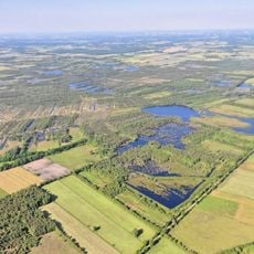
Schwinge und Nebentäler, protected landscape in Lower Saxony, Germany
Location: Stade
Inception: 1985
GPS coordinates: 53.53210,9.35007
Latest update: June 13, 2025 13:42
Hohes Moor (Lüneburg)
6.4 km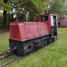
Deutsches Feld- und Kleinbahnmuseum
6.2 km
St. Mary's Church
9.6 km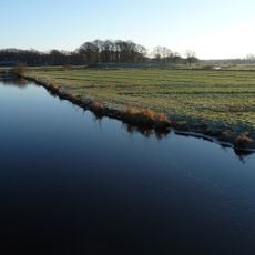
Schwedenschanze
8.1 km
Freilichtmuseum auf der Insel
11 km
Heilig-Geist-Kirche (Stade)
10.3 km
Fernmeldeturm Haddorf
9.4 km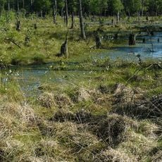
Feerner Moor
10.2 km
Schwarzer Berg (Stade)
9.5 km
St. Petri
3.9 km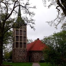
St. Primus
10.3 km
St. Martin (Oldendorf)
9.2 km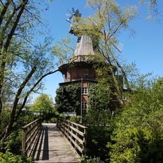
Wehbers Mühle
9.8 km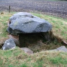
Steinkammer von Deinste
7.2 km
Kirche Farven
10.9 km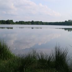
Sandentnahme Hammah
10.5 km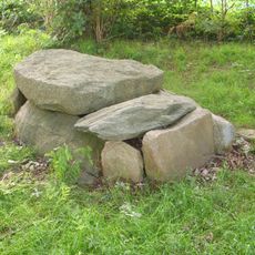
Steinkiste Hagenah
2.2 km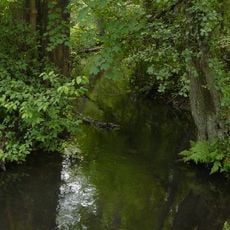
Deinster Mühlenbach
4.6 km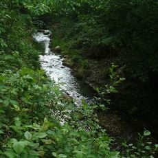
Fredenbecker Mühlenbach
4 km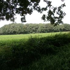
Im Tadel
10.8 km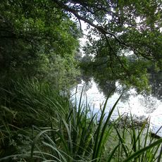
Steinbeck
5.8 km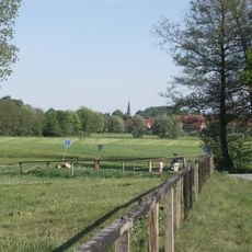
Schwingetal
7.1 km
Großsteingrab Heinbockel
4.5 km
Schwingewiesen
10.6 km
Markuskirche
9.1 km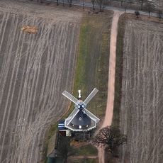
Amanda
7.1 km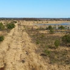
Hohes Moor
6.9 km
Johanniskirche
9.8 kmReviews
Visited this place? Tap the stars to rate it and share your experience / photos with the community! Try now! You can cancel it anytime.
Discover hidden gems everywhere you go!
From secret cafés to breathtaking viewpoints, skip the crowded tourist spots and find places that match your style. Our app makes it easy with voice search, smart filtering, route optimization, and insider tips from travelers worldwide. Download now for the complete mobile experience.

A unique approach to discovering new places❞
— Le Figaro
All the places worth exploring❞
— France Info
A tailor-made excursion in just a few clicks❞
— 20 Minutes