Wangerland - binnendeichs, protected landscape in Lower Saxony, Germany
Location: Friesland
Inception: 2008
GPS coordinates: 53.69820,7.90815
Latest update: November 14, 2025 06:22

Brücke der Erinnerung
6.4 km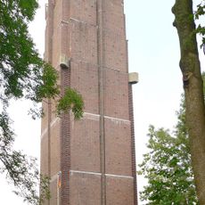
Wasserturm Hohenkirchen
4 km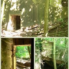
Wiesenbatterie Schillig
6.7 km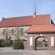
St. Sixtus und Sinicius
4 km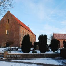
Severinus- und Jacobus-Kirche
3.9 km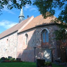
St. Cosmas und Damian (Wiarden)
4.4 km
Burg Lauerens
4.3 km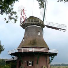
Stumpenser Mühle
5.2 km
Ziallerns
6.1 km
Kirche Brewitz
3.9 km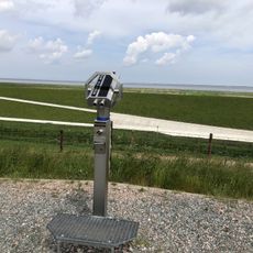
Scenic viewpoint
1.7 km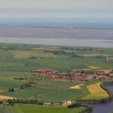
Wangerland
2.4 km
Oesterdeich 400 Jahre
4.9 km
Betonschiff JOS 07
6.5 km
Küstenschutz
1.7 km
Kusshaltestelle
2.4 km
Dorf Wangerland
3.4 km
Seewiefken
4.2 km
Alte Boje
6.6 km
Nationalpark-Informationseinr.
4.1 km
Statue, Work of art
4.1 km
Scenic viewpoint
3.2 km
Spielstadt Wangerland
3.6 km
Denkmal WK I + II
4.6 km
Pumpschaufeln
6.6 km
Memorial, commemorative plaque
3.4 km
War memorial, memorial
4 km
Gleisstück
6.5 kmVisited this place? Tap the stars to rate it and share your experience / photos with the community! Try now! You can cancel it anytime.
Discover hidden gems everywhere you go!
From secret cafés to breathtaking viewpoints, skip the crowded tourist spots and find places that match your style. Our app makes it easy with voice search, smart filtering, route optimization, and insider tips from travelers worldwide. Download now for the complete mobile experience.

A unique approach to discovering new places❞
— Le Figaro
All the places worth exploring❞
— France Info
A tailor-made excursion in just a few clicks❞
— 20 Minutes