
Rheinniederung Wyhl-Weisweil, protected landscape area in Baden-Württemberg, Germany
Location: Emmendingen
Inception: 1998
GPS coordinates: 48.19850,7.67108
Latest update: June 10, 2025 06:03

Taubergießen
6.5 km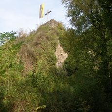
Limburg Castle
7.6 km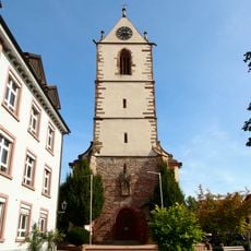
St. Peter
6.9 km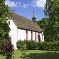
Maria Sand Kapelle (Herbolzheim)
7 km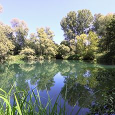
Réserve naturelle nationale de l'île de Rhinau
5.9 km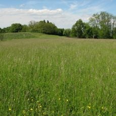
Amolterer Heide
7.7 km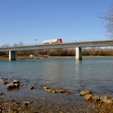
Rheinbrücke Sasbach–Marckolsheim
7.3 km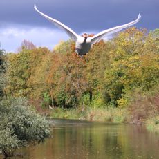
Rheinniederung Wyhl-Weisweil
1.1 km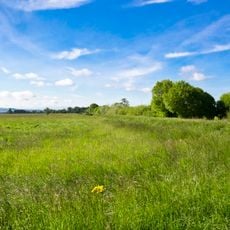
Elzwiesen
6.4 km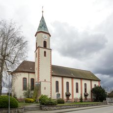
St. Blasius
3.7 km
St. Johannes Baptista, Forchheim
4.5 km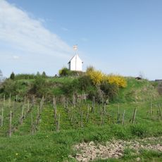
Kenzingen Castle
7.7 km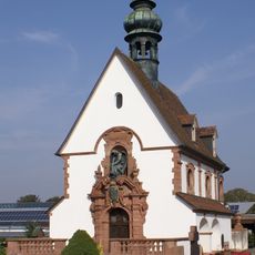
Cemetery Chapel (Riegel am Kaiserstuhl)
7.5 km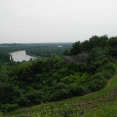
Limberg
7.4 km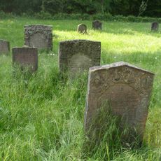
Jewish cemetery in Mackenheim
5.1 km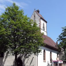
Evangelische Kirche
321 m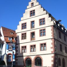
Rathaus Endingen am Kaiserstuhl
6.8 km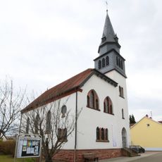
Evangelische Kirche
6.7 km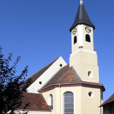
Église Saint-Oswald
3.2 km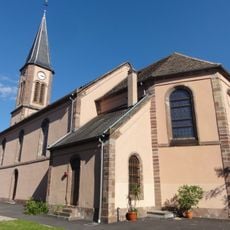
Église Saint-Arbogast de Richtolsheim
6.3 km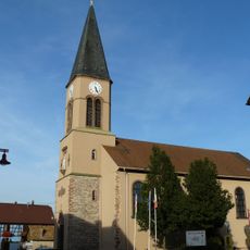
Église Saint-Maurice d'Artolsheim
7.3 km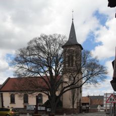
Église Saint-Blaise de Bootzheim
7.4 km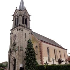
Église Saint-Jean-Baptiste de Saasenheim
5.9 km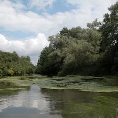
Rheinwald 'Taubergießen'
5.9 km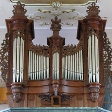
Orgue de tribune de l'église Saint-Jean-Baptiste de Saasenheim
5.9 km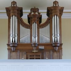
Orgue de tribune de l'église Saint-Arbogast de Richtolsheim
6.3 km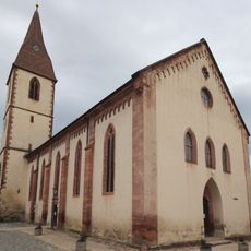
St. Martin
6.9 km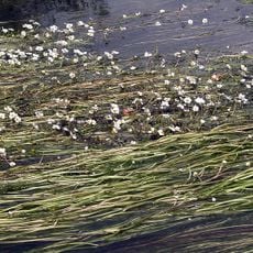
Taubergießen, Elz und Ettenbach
4.6 kmReviews
Visited this place? Tap the stars to rate it and share your experience / photos with the community! Try now! You can cancel it anytime.
Discover hidden gems everywhere you go!
From secret cafés to breathtaking viewpoints, skip the crowded tourist spots and find places that match your style. Our app makes it easy with voice search, smart filtering, route optimization, and insider tips from travelers worldwide. Download now for the complete mobile experience.

A unique approach to discovering new places❞
— Le Figaro
All the places worth exploring❞
— France Info
A tailor-made excursion in just a few clicks❞
— 20 Minutes