
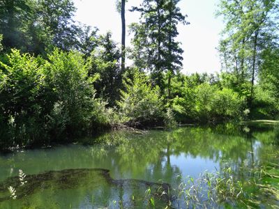
Auenwälder und Feuchtwiesen westlich von Ötigheim, protected landscape area in Baden-Württemberg, Germany
Location: Rastatt district
Inception: 1994
GPS coordinates: 48.88090,8.21325
Latest update: March 10, 2025 08:02
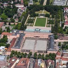
Schloss Rastatt
2.5 km
Rastatt Fortress
2.5 km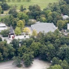
Freilichtbühne Ötigheim
1.3 km
Erinnerungsstätte für die Freiheitsbewegungen in der deutschen Geschichte
2.5 km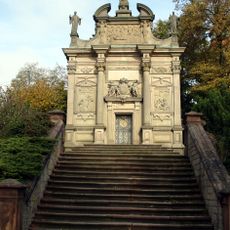
Einsiedelner Kapelle
2.8 km
Alexanderkirche
2.8 km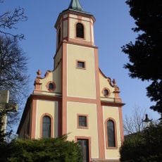
Bernhardus Church
2.4 km
Evangelische Stadtkirche
2.5 km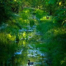
Rastatter Rheinaue
5.2 km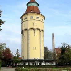
Wasserturm
2.7 km
Schlosskirche Rastatt
2.4 km
Historische Bibliothek der Stadt Rastatt
2.4 km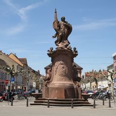
Bernhardusbrunnen
2.9 km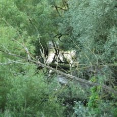
Silberweidenwald Steinmauern
4.7 km
Alexiusbrunnen
2.7 km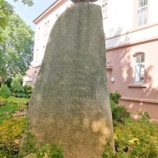
Lützower-Denkmal Rastatt
3.4 km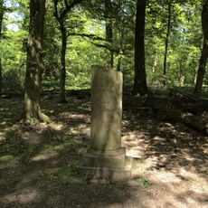
Auenwälder und Feuchtwiesen westlich von Ötigheim
833 m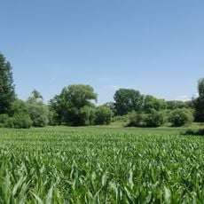
Rastatter Bruch (4 Teilgebiete)
4 km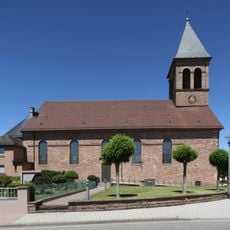
St. Michael
1.8 km
Seitel
5.3 km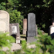
Jüdischer Friedhof Rastatt
2 km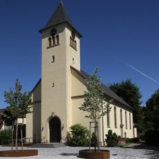
St. Anna (Rastatt-Rauental)
3.7 km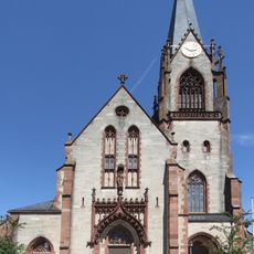
Maria Königin der Engel (Muggensturm)
5.1 km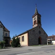
St. Jakobus
4.1 km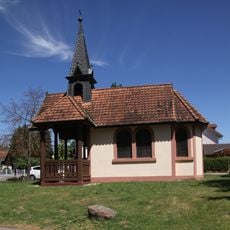
Wendelinus-Kapelle
1.7 km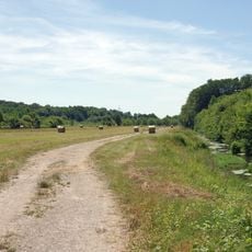
Rastatter Ried
5.2 km
Evangelische Stadtkirche Rastatt
2.5 km
Schloßgarten Rastatt
2.4 kmVisited this place? Tap the stars to rate it and share your experience / photos with the community! Try now! You can cancel it anytime.
Discover hidden gems everywhere you go!
From secret cafés to breathtaking viewpoints, skip the crowded tourist spots and find places that match your style. Our app makes it easy with voice search, smart filtering, route optimization, and insider tips from travelers worldwide. Download now for the complete mobile experience.

A unique approach to discovering new places❞
— Le Figaro
All the places worth exploring❞
— France Info
A tailor-made excursion in just a few clicks❞
— 20 Minutes