
Höchsten, protected landscape area in Sigmaringen district, Baden-Württemberg, Germany
Location: Landkreis Sigmaringen
Inception: 1938
Part of: Höchsten
GPS coordinates: 47.82030,9.39874
Latest update: March 2, 2025 23:53

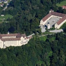
Schloss Heiligenberg
6.6 km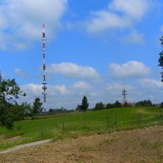
Höchsten
280 m
Gehrenberg
9 km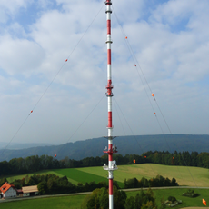
Sender Ravensburg
171 m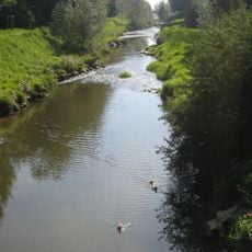
Rotach
8.3 km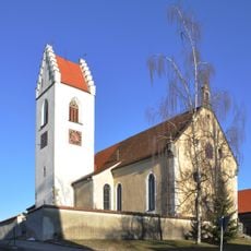
Wallfahrtskirche Mariae Geburt in Betenbrunn
3.8 km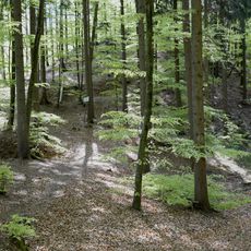
Schwedenschanze
8.9 km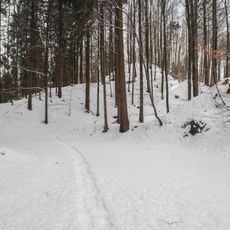
Burgrest Alt-Heiligenberg
7.8 km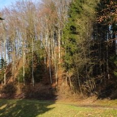
Burgrest Falkenstein
2.9 km
Ringgenburg (Esenhausen)
7.8 km
Schloßbühl Burg (Deggenhausertal)
4.9 km
Überwachsener See
6.3 km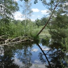
Pfrunger Ried und Seen bei Illmensee
8.9 km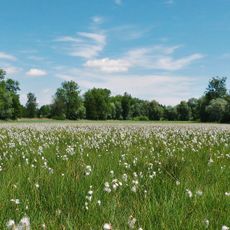
Rotachtal Bodensee
8.7 km
Schwesternsammlung Weppach
9.3 km
Ruschweiler und Volzer See
6 km
Antoniuskapelle
6.6 km
Schwarzer Graben
9.2 km
Schlossbühl Limpach
4.9 km
Pfrunger und Burgweiler Ried
9.3 km
Pfrunger Ried - Rinkenburg
7.7 km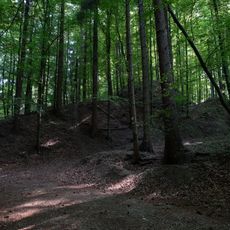
Heiligenberg
6.5 km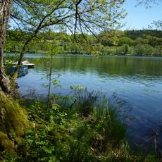
Illmensee, Ruschweiler See und Volzer See
4.9 km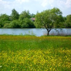
Lengenweiler See
6.1 km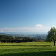
Höchsten
166 m
Gerichtslinde Heiligenberg
6.6 km
Baumgruppe: 4 Linden und 3 Ulmen
5.9 km
Evangelische Johanneskirche
6.6 kmReviews
Visited this place? Tap the stars to rate it and share your experience / photos with the community! Try now! You can cancel it anytime.
Discover hidden gems everywhere you go!
From secret cafés to breathtaking viewpoints, skip the crowded tourist spots and find places that match your style. Our app makes it easy with voice search, smart filtering, route optimization, and insider tips from travelers worldwide. Download now for the complete mobile experience.

A unique approach to discovering new places❞
— Le Figaro
All the places worth exploring❞
— France Info
A tailor-made excursion in just a few clicks❞
— 20 Minutes