
Birkenborn, Flurteil Sinderbach, nature reserve in Germany
Location: Netphen
Inception: 1957
GPS coordinates: 50.89633,8.22461
Latest update: August 21, 2025 20:58
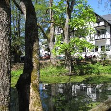
Lahn spring
1.3 km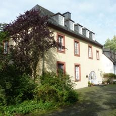
Burg Hainchan
4.7 km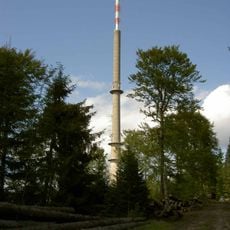
Sender Ederkopf
5.4 km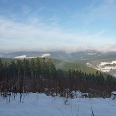
Alte Burg
6.5 km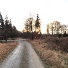
Jagd-Berg
3.6 km
Forsthaus Hohenroth
4.5 km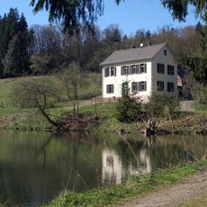
Forsthaus Dietzhölze
4.9 km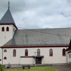
St. Johannes Evangelist (Gernsdorf)
6.7 km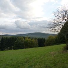
Haferhain
6.5 km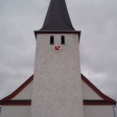
Saint Cecilia Church
4.8 km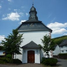
Evangelische Kirche Rittershausen
6.9 km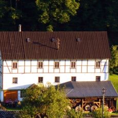
Wassermühle Nenkersdorf
2.3 km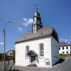
Evangelische Kirche
7.9 km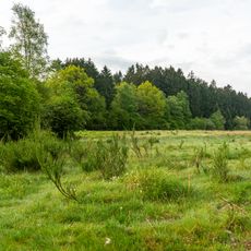
Gernsdorfer Weidekämpe
6.5 km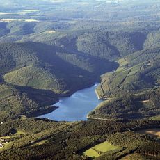
Obernautalsperre
6 km
Laufbrunnen
7.9 km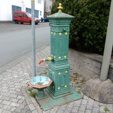
Laufbrunnen
7.8 km
Siegener Straße 32
6.9 km
Siegener Straße 48
7 km
Ortsstraße 62
7 km
Zur Kirche 4+6/Siegenweg 1
7.8 km
Ortsstraße 36a
6.9 km
Forsthaus Dietzhölze
4.9 km
Siegener Straße 9
7.1 km
Siegener Straße 50/52
7 km
Ortsstraße 44/46
6.9 km
Ortsstraße 33
7 km
Schmiede
7.8 kmReviews
Visited this place? Tap the stars to rate it and share your experience / photos with the community! Try now! You can cancel it anytime.
Discover hidden gems everywhere you go!
From secret cafés to breathtaking viewpoints, skip the crowded tourist spots and find places that match your style. Our app makes it easy with voice search, smart filtering, route optimization, and insider tips from travelers worldwide. Download now for the complete mobile experience.

A unique approach to discovering new places❞
— Le Figaro
All the places worth exploring❞
— France Info
A tailor-made excursion in just a few clicks❞
— 20 Minutes