
Teutoburger Wald von Tecklenburg bis Holperdoler Tal, Landschaftsschutzgebiet in Nordrhein-Westfalen
Location: Tecklenburg
Location: Lengerich
Inception: 1963
GPS coordinates: 52.20584,7.86921
Latest update: June 17, 2025 17:57
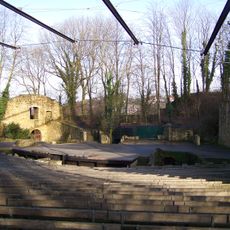
Freilichtbühne Tecklenburg
4.4 km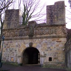
Tecklenburg
4.3 km
Haus Marck
4.3 km
Gempthalle
2.4 km
Bismarck Tower (Tecklenburg)
4.9 km
Silberberg
5.7 km
Steinbruch im Kleefeld (Canyon)
2.1 km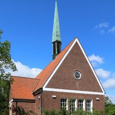
Evangelische Bodelschwingh-Kirche
5.2 km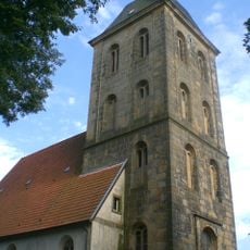
Stadtkirche Tecklenburg
4.1 km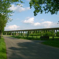
Talbrücke Exterheide
1.4 km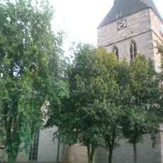
Evangelische Stadtkirche Lengerich
2.2 km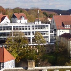
Kreishaus Tecklenburg
4 km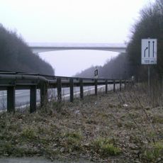
Leeder-Berg
1.1 km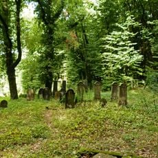
Jüdischer Friedhof (Lengerich)
1.7 km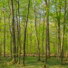
Habichtswald
3.7 km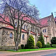
Kirche Mariä Himmelfahrt Gellenbeck
4.9 km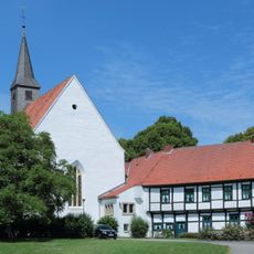
Kloster Leeden
1.3 km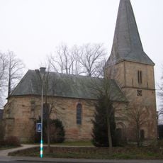
Dorfkirche Ledde
5.3 km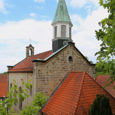
St. Michael
4.6 km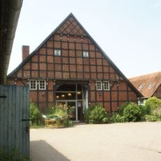
Weidenhof
6.1 km
Lengericher Osning
2.1 km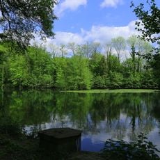
Talaue Haus Marck
3.5 km
Sundern
4.9 km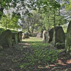
Großsteingrab Lengerich-Wechte I
5.3 km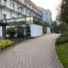
Klinik Bad
4.5 km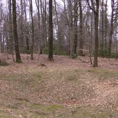
Silberberg
5.7 km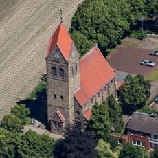
Hohner Kirche
4.2 km
Landschaftsschutzgebiet Lengericher Osning
4.6 kmReviews
Visited this place? Tap the stars to rate it and share your experience / photos with the community! Try now! You can cancel it anytime.
Discover hidden gems everywhere you go!
From secret cafés to breathtaking viewpoints, skip the crowded tourist spots and find places that match your style. Our app makes it easy with voice search, smart filtering, route optimization, and insider tips from travelers worldwide. Download now for the complete mobile experience.

A unique approach to discovering new places❞
— Le Figaro
All the places worth exploring❞
— France Info
A tailor-made excursion in just a few clicks❞
— 20 Minutes