
Mühlenbach, Landschaftsschutzgebiet in Nordrhein-Westfalen
Location: Lienen
Inception: 2009
GPS coordinates: 52.12594,7.88658
Latest update: June 10, 2025 15:44
Schloss Loburg
9.5 km
Burg Scheventorf
10.2 km
Westerbecker Berg
6.1 km
Gempthalle
7.2 km
Schleppenburg
10.3 km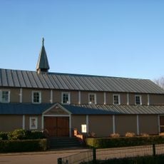
Kripplein Christi
9.2 km
Steinbruch im Kleefeld (Canyon)
9.2 km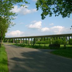
Talbrücke Exterheide
9.8 km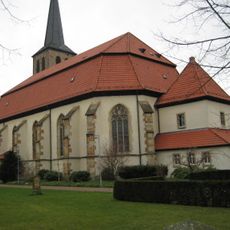
St. Johannis
9.3 km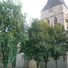
Evangelische Stadtkirche Lengerich
7.5 km
Anna-Kapelle
9.4 km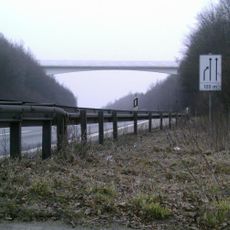
Leeder-Berg
10 km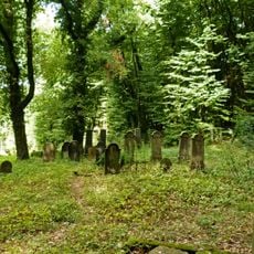
Jüdischer Friedhof (Lengerich)
7.4 km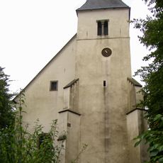
Evangelische Kirche Lienen
6.5 km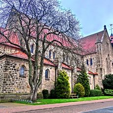
Kirche Mariä Himmelfahrt Gellenbeck
8.9 km
St. Georg Ostbevern
10.1 km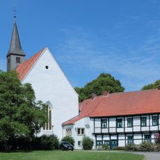
Kloster Leeden
9.8 km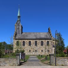
Protestant Church, Ladbergen
10.2 km
Heimathaus
9.8 km
Johannes-Kirche
9 km
Herz-Jesu-Kirche
9.2 km
Gemeindezentrum der Christlichen Gemeinde Ostbevern
9.2 km
Hagelprozession Marienkapelle
9.4 km
Brinkjans Krüüs
10.1 km
Lengericher Osning
6.9 km
Kapelle zur schmerzhaften Mutter
9.9 km
Donatusstatue
10 km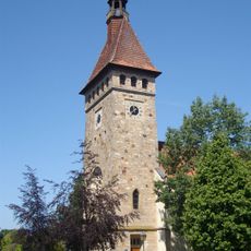
St. Marien
6.5 kmReviews
Visited this place? Tap the stars to rate it and share your experience / photos with the community! Try now! You can cancel it anytime.
Discover hidden gems everywhere you go!
From secret cafés to breathtaking viewpoints, skip the crowded tourist spots and find places that match your style. Our app makes it easy with voice search, smart filtering, route optimization, and insider tips from travelers worldwide. Download now for the complete mobile experience.

A unique approach to discovering new places❞
— Le Figaro
All the places worth exploring❞
— France Info
A tailor-made excursion in just a few clicks❞
— 20 Minutes