
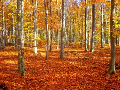
LSG-Stetternicher Wald, protected area in Germany
Location: Jülich
Inception: 1984
GPS coordinates: 50.91063,6.41839
Latest update: March 4, 2025 05:49
Sophienhöhe
3.2 km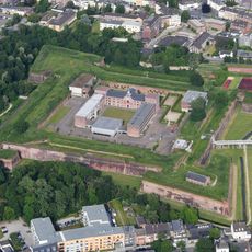
Zitadelle Jülich
4.4 km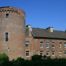
Schloss Hambach
2 km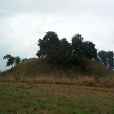
Motte Altenburg
3 km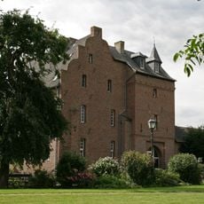
Burg Obbendorf
2.4 km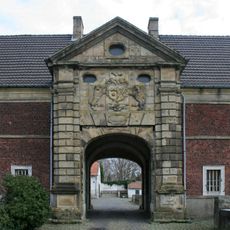
Gut Müllenark
4.2 km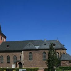
St. Cäcilia
4.3 km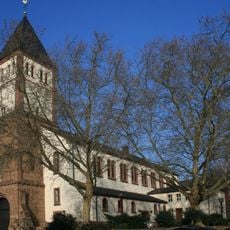
St. Mariä Himmelfahrt
4.4 km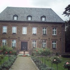
Burg Niederzier
4.2 km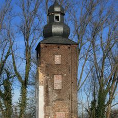
Haus Lorsbeck
3.2 km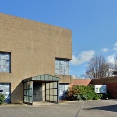
St. Rochus (Jülich)
4.4 km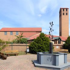
St. Andreas und Matthias
3.7 km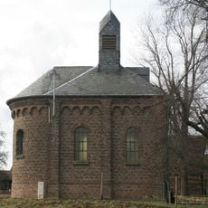
Regina Pacis Chapel
3.8 km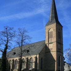
St. Stephanus (Selgersdorf)
2.6 km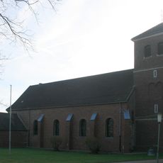
St. Martinus (Stetternich)
1.7 km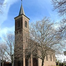
Saint Barbara Church (Schophoven)
4 km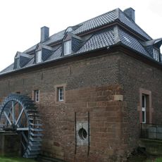
Müllenarker Mühle
4.2 km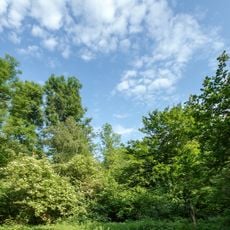
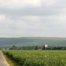
Langenbroich-Stetternicher Wald
1.9 km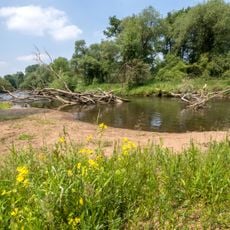
Rurauenwald-Indemündung
3.7 km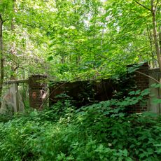
Ehemaliges Eisenbahn-Ausbesserungswerk Jülich-Süd
2.6 km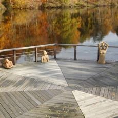
Sculptures at Seecasino
847 m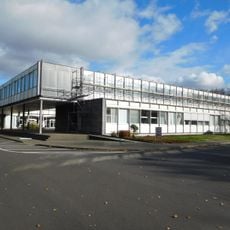
Forschungszentrum Jülich. Zentralbibliothek
711 m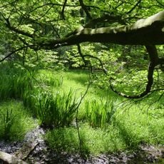
Laubwald bei Haus Mariawald
3.7 km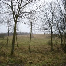
LSG-Im nördlichen Teil des Kreises Düren
3 km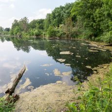
Indemündung
3.7 km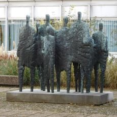
People pass each other
759 m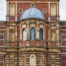
Schlosskapelle Jülich
4.4 km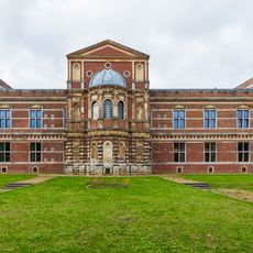
Schloss Jülich
4.4 kmReviews
Visited this place? Tap the stars to rate it and share your experience / photos with the community! Try now! You can cancel it anytime.
Discover hidden gems everywhere you go!
From secret cafés to breathtaking viewpoints, skip the crowded tourist spots and find places that match your style. Our app makes it easy with voice search, smart filtering, route optimization, and insider tips from travelers worldwide. Download now for the complete mobile experience.

A unique approach to discovering new places❞
— Le Figaro
All the places worth exploring❞
— France Info
A tailor-made excursion in just a few clicks❞
— 20 Minutes