
LSG-Stevede-Sued, protected area in Germany
Location: Coesfeld
Inception: 1985
GPS coordinates: 51.89728,7.07963
Latest update: March 21, 2025 12:40
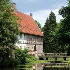
Haus Loburg
7 km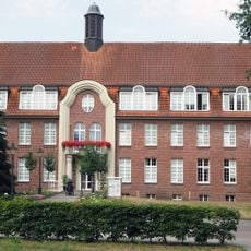
Benediktushof Maria Veen
7 km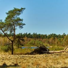
Heidesee
3.2 km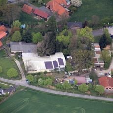
Freilichtbühne Coesfeld
5.4 km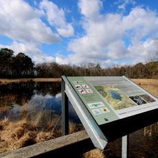
Fürstenkuhle
2.6 km
Hüns-Berg
1.8 km
Kuhlenvenn
2.3 km
Melchenberg
7 km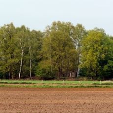
Jansburg
3.5 km
Anna-Katharina-Emmerick-Haus
5.5 km
St. Antonius Abt
5.8 km
St. Andreas
6.4 km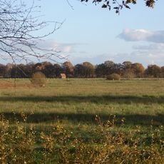
Heubachwiesen
6.9 km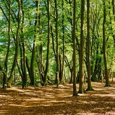
Steveder Kreuzweg
1.8 km
Wasserwerk Reken-Melchenberg
7.1 km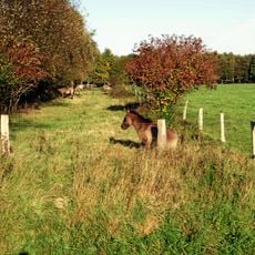
Heubachwiesen
6.3 km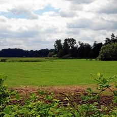
Heubachwiesen
5.1 km
Waldkapelle und Einsiedelei
6.3 km
Jüdischer Friedhof Groß Reken
7 km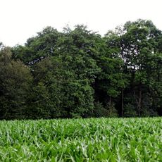
Erlenbruch Sandheck
5.3 km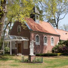
Waldkapelle
6.3 km
Schwarzes Venn
6 km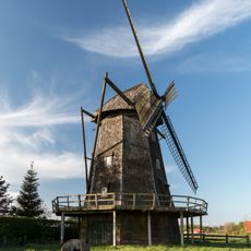
Kappenwindmühle
7.1 km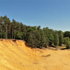
Landschaftsschutzgebiet Hünsberg-Monenberg
3.5 km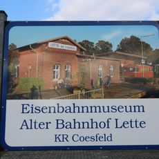
Eisenbahnmuseum Lette
7.4 km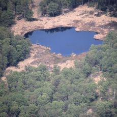
Fürstenkuhle im Weissen Venn
2.3 km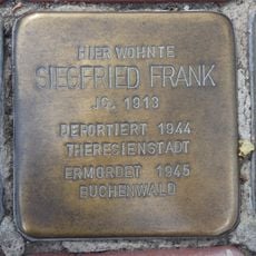
Stolperstein dedicated to Siegfried Frank
6.5 km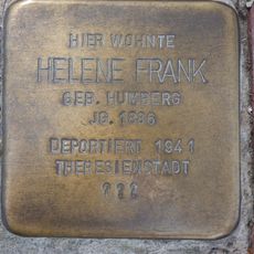
Stolperstein dedicated to Helene Frank
6.5 kmReviews
Visited this place? Tap the stars to rate it and share your experience / photos with the community! Try now! You can cancel it anytime.
Discover hidden gems everywhere you go!
From secret cafés to breathtaking viewpoints, skip the crowded tourist spots and find places that match your style. Our app makes it easy with voice search, smart filtering, route optimization, and insider tips from travelers worldwide. Download now for the complete mobile experience.

A unique approach to discovering new places❞
— Le Figaro
All the places worth exploring❞
— France Info
A tailor-made excursion in just a few clicks❞
— 20 Minutes