
LSG-Quellbereich an der Nordflanke des Toensberges, protected area in Germany
Location: Oerlinghausen
Inception: 2001
GPS coordinates: 51.95102,8.69462
Latest update: June 10, 2025 06:26
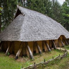
Archäologisches Freilichtmuseum Oerlinghausen
2.1 km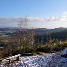
Tönsberg
818 m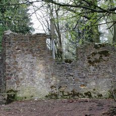
Hünenkapelle
466 m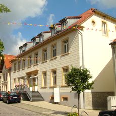
Hauptstraße 32
2.5 km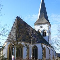
Alexanderkirche
2.6 km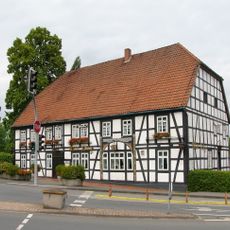
Bahnhofstraße 1
2.4 km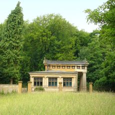
Mausoleum Tenge
2.1 km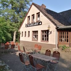
Bienenschmidt
2.3 km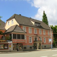
Melmsche Hirsch-Apotheke
2.3 km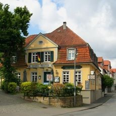
Altdeutsche Bierstuben
2.3 km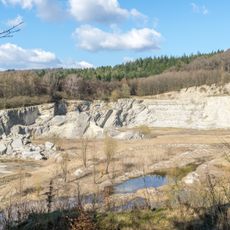
Steinbruch am Barkhauser Berg
2.3 km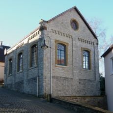
Synagoge Oerlinghausen
2.6 km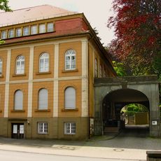
Detmolder Straße 6-10
2.1 km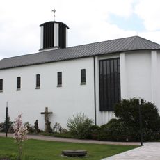
St. Michael
1.9 km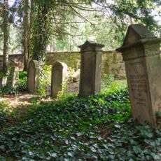
Jüdischer Friedhof
2.5 km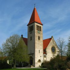
Kirche Helpup (Oerlinghausen)
2.4 km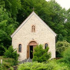
Steinbruchstraße 12 (Oerlinghausen)
1.6 km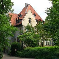
Detmolder Straße 24
1.9 km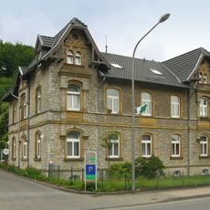
Robert-Koch-Straße 17
2.6 km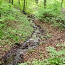
Grüte
2.1 km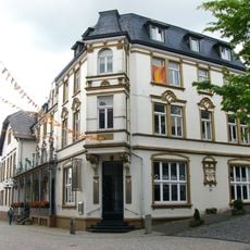
Hauptstraße 19
2.5 km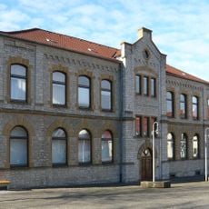
Oerlinghausen town hall
2.3 km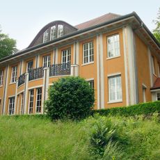
Detmolder Straße 20 (Oerlinghausen)
1.9 km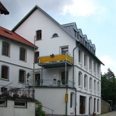
Langer Gottfried
2.6 km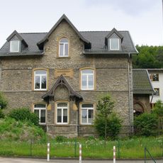
Robert-Koch-Straße 19
2.6 km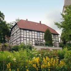
Pfarrhaus Oerlinghausen
2.6 km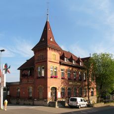
Rathausstraße 15
2.3 km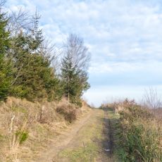
Tönsberg
335 mReviews
Visited this place? Tap the stars to rate it and share your experience / photos with the community! Try now! You can cancel it anytime.
Discover hidden gems everywhere you go!
From secret cafés to breathtaking viewpoints, skip the crowded tourist spots and find places that match your style. Our app makes it easy with voice search, smart filtering, route optimization, and insider tips from travelers worldwide. Download now for the complete mobile experience.

A unique approach to discovering new places❞
— Le Figaro
All the places worth exploring❞
— France Info
A tailor-made excursion in just a few clicks❞
— 20 Minutes