
Ziegelberg-Bauernkuppe-Schmittenberg-Krembachtal, protected area in Germany
Location: Heusweiler
Inception: 1987
GPS coordinates: 49.33619,6.88176
Latest update: March 15, 2025 18:35

Burg Bucherbach
4.2 km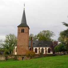
Martinskirche
3.9 km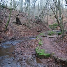
Mühlenbach Schluchtentour
4.8 km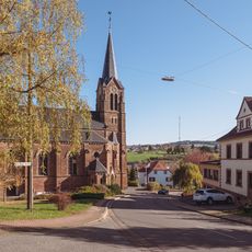
Herz-Jesu-Kirche
3.7 km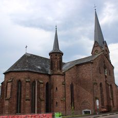
Mariä Heimsuchung
3.5 km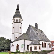
Evangelische Kirche
3.4 km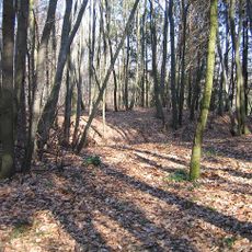
Alte Burg Labach
3.5 km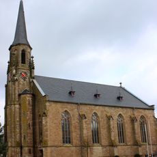
St. Marien
2.7 km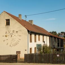
Uhrenmuseum
4.4 km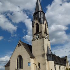
St. Bartholomäus
1.5 km
St. Erasmus
4.5 km
Hootzemonn-Weg
3.1 km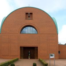
Maria Königin Obersalbach
1.3 km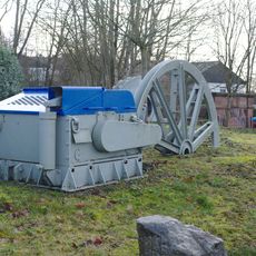
Freilichtmuseum Viktoriastollen Engelfangen
4.9 km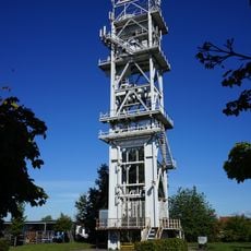
Schachtgerüst Dilsburg
4.3 km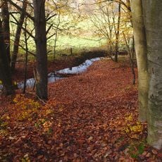
Landschaftsschutzgebiet im Landkreis Saarlouis - im Bereich der Gemeinden Saarwellingen (und Lebach)
4.1 km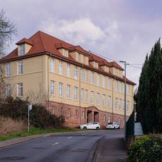
Alte Engelfanger Schule
4.5 km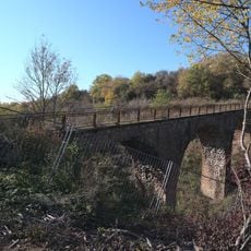
Straßenbrücke
3.4 km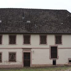
Eiweiler Mühle
4.3 km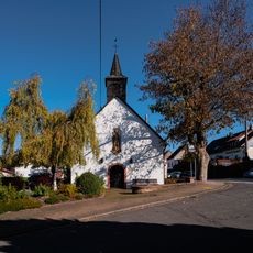
Wendalinuskapelle
3.4 km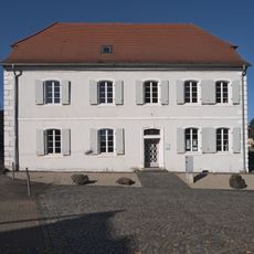
Katholisches Pfarrhaus
3.9 km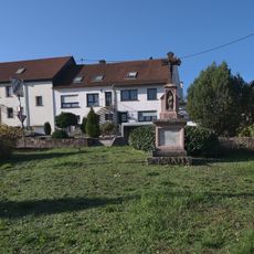
Wegekreuz Himbert Rupp
3.7 km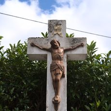
Wegekreuz
3.9 km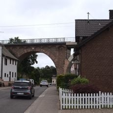
Eiweiler Viaduct
4.6 km
Köllner Mühle
3.4 km
Wegekreuz
4.7 km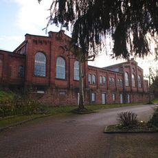
Zechenhaus
4.8 km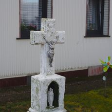
Wayside cross
4.9 kmReviews
Visited this place? Tap the stars to rate it and share your experience / photos with the community! Try now! You can cancel it anytime.
Discover hidden gems everywhere you go!
From secret cafés to breathtaking viewpoints, skip the crowded tourist spots and find places that match your style. Our app makes it easy with voice search, smart filtering, route optimization, and insider tips from travelers worldwide. Download now for the complete mobile experience.

A unique approach to discovering new places❞
— Le Figaro
All the places worth exploring❞
— France Info
A tailor-made excursion in just a few clicks❞
— 20 Minutes