
LSG-Benrad, protected area in Germany
Location: Krefeld
Inception: 1992
GPS coordinates: 51.34833,6.50831
Latest update: May 12, 2025 20:35
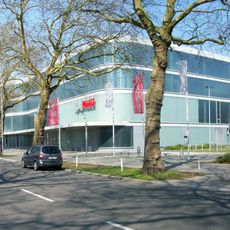
König Palast
2.4 km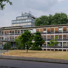
Stadthaus
2.7 km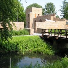
Burg Hüls
2.9 km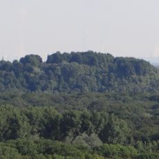
Inrather Berg
3.2 km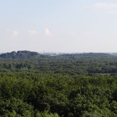
Kapuzinerberg
2.4 km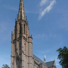
Liebfrauenkirche
3.6 km
Krefeld Stadtgarten
3.5 km
Krieewelsche pappköpp
3.1 km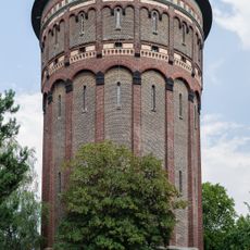
Wasserturm an der Gutenbergstraße
3.1 km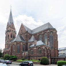
St. Anne's Church
3.2 km
Stadtarchiv Krefeld
2.8 km
H2Oh!
3.5 km
Vogelsang House
3.7 km
Heimathaus Antonius
3.2 km
Jüdischer Friedhof in St. Tönis
2.7 km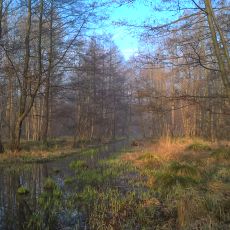
Flöthbach
2.6 km
Streuff-Mühle
3 km
Saint Cyriacus Church, Hüls
2.8 km
Corneliusstift
2.2 km
Kempener Allee 9
3 km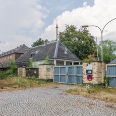
Kaserne Kempener Allee
1.7 km
Pauluskirche
2.8 km
Officers' mess of the Hussars' Barracks Krefeld
2.8 km
LSG-Selder
3.6 km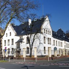
Stabsgebäude
2.6 km
Gutenbergstraße 46 (Krefeld)
3.1 km
Gutenbergstraße 39 (Krefeld)
3.1 km
Gutenbergstraße 41 (Krefeld)
3.1 kmReviews
Visited this place? Tap the stars to rate it and share your experience / photos with the community! Try now! You can cancel it anytime.
Discover hidden gems everywhere you go!
From secret cafés to breathtaking viewpoints, skip the crowded tourist spots and find places that match your style. Our app makes it easy with voice search, smart filtering, route optimization, and insider tips from travelers worldwide. Download now for the complete mobile experience.

A unique approach to discovering new places❞
— Le Figaro
All the places worth exploring❞
— France Info
A tailor-made excursion in just a few clicks❞
— 20 Minutes