
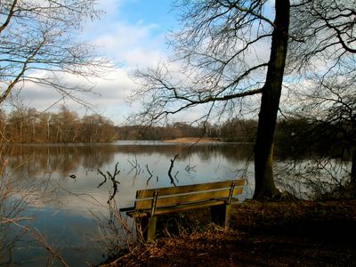
LSG Naherholungsgebiet Entenfang, protected area in Germany
Location: Mülheim an der Ruhr
Inception: 2005
GPS coordinates: 51.37591,6.81840
Latest update: March 4, 2025 03:01

Wedaustadion
4.6 km
Christoph 9
2.2 km
Waldfriedhof Duisburg
4.1 km
Haus Böckum
4.6 km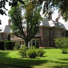
Villa Fritz Thyssen
2.2 km
Haus Küchen
3.7 km
Rangierbahnhof Wedau
2 km
Haus Remberg
4 km
Biegerpark
4.5 km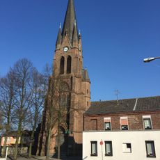
St. Peter und Paul
4.9 km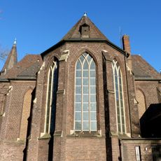
Church of St Jude Thaddeus
3.9 km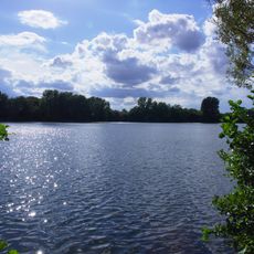
Masurensee
1.7 km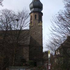
Saint Hubertus Church
3.6 km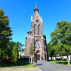
St. Theresia
3.1 km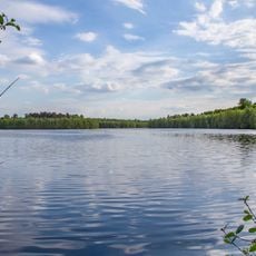
Haubachsee
1.1 km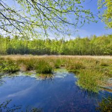
Wambachtal und Oembergmoor
2.2 km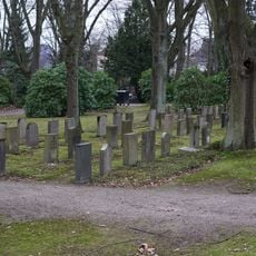
Neuer jüdischer Friedhof
4.2 km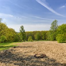
Hangquellen an der Tannenstraße
2.4 km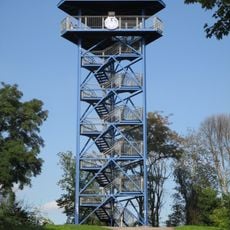
Aussichtsturm Wolfsberg
1.2 km
Auberg und Oberläufe des Wambaches
4.3 km
Schmitterbachtal
4.7 km
Aue des Alten Angerbaches am Altenbrucher Damm
3.6 km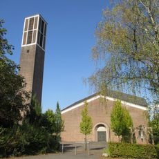
Christuskirche Mülheim-Saarn
4.1 km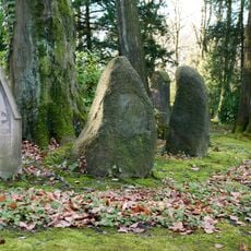
LSG-Nachtigallentat und Scheuerbachtal
4.5 km
St. Christophorus Church
4.3 km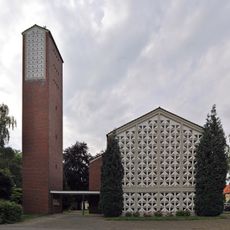
St. Joseph's Church
2.5 km
LSG-Saarn-Selbecker Hochflaechen
4.1 km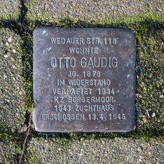
Stolperstein dedicated to Otto Gaudig
2.9 kmVisited this place? Tap the stars to rate it and share your experience / photos with the community! Try now! You can cancel it anytime.
Discover hidden gems everywhere you go!
From secret cafés to breathtaking viewpoints, skip the crowded tourist spots and find places that match your style. Our app makes it easy with voice search, smart filtering, route optimization, and insider tips from travelers worldwide. Download now for the complete mobile experience.

A unique approach to discovering new places❞
— Le Figaro
All the places worth exploring❞
— France Info
A tailor-made excursion in just a few clicks❞
— 20 Minutes