
LSG-Talraum des Muehlenbaches, noerdlich Dortmund-Brechten, suedlich des Datteln-Hamm-Kanals
LSG-Talraum des Muehlenbaches, noerdlich Dortmund-Brechten, suedlich des Datteln-Hamm-Kanals, protected area in Germany
Location: Lünen
Inception: 1985
GPS coordinates: 51.59484,7.46600
Latest update: March 27, 2025 14:51
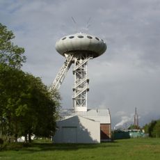
LÜNTEC-Tower
1.4 km
Zeche Waltrop
4 km
Christoph 8
4.3 km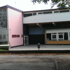
Geschwister-Scholl-Gesamtschule Lünen
4.2 km
Haus Buddenburg
2.9 km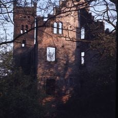
Haus Wilbring
2.5 km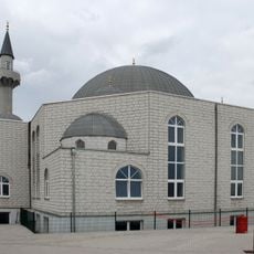
Selimiye-Moschee Lünen
3.6 km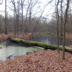
Grävingholz
3.5 km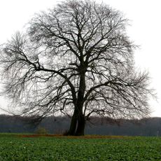
Napoleonsbuche Gahmen
2.3 km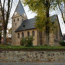
St. Johann Baptist (Brechten)
1.6 km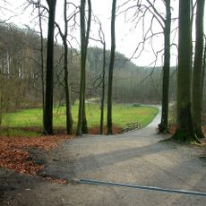
Süggel
3.5 km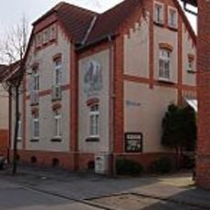
Bergarbeiter-Wohnmuseum
1.3 km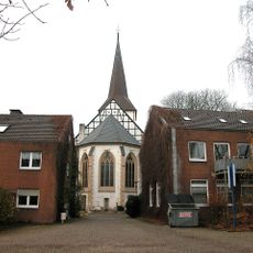
Evangelische Stadtkirche Lünen
4.5 km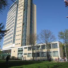
Rathaus
4.4 km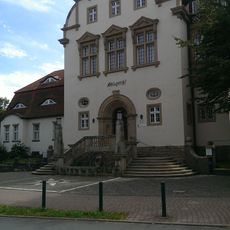
Amtsgericht Lünen
4.1 km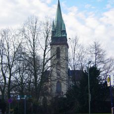
Herz-Jesu-Kirche
4.3 km
Schloßmühle Lippholthausen
2.2 km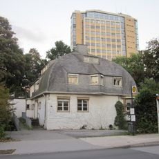
Villa Urbahn
4.3 km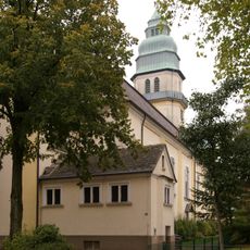
Herz-Jesu-Kirche (Brambauer)
2.1 km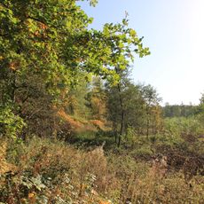
Auf dem Brink
3.2 km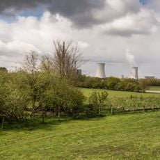
Lippeaue von Lünen bis Schleuse Horst
3.3 km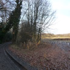
Groppenbruch
3.9 km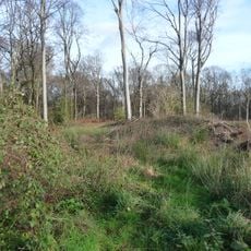
Herrentheyer Wald (Holzkamp)
2.8 km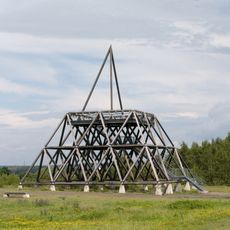
Spurwerkturm
3.9 km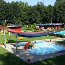
Freibad Brambauer
1.8 km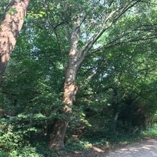
LSG-Waldgebiet suedoestlich der Heikenberg- Siedlung in Luenen-Alstedde
3.5 km
Stadtarchiv Lünen
4.4 km
LSG-Gelte, noerdlich des Lippedeiches, suedlich der Alstedder Strasse und suedwestlich der Klaeranlage
3.9 kmReviews
Visited this place? Tap the stars to rate it and share your experience / photos with the community! Try now! You can cancel it anytime.
Discover hidden gems everywhere you go!
From secret cafés to breathtaking viewpoints, skip the crowded tourist spots and find places that match your style. Our app makes it easy with voice search, smart filtering, route optimization, and insider tips from travelers worldwide. Download now for the complete mobile experience.

A unique approach to discovering new places❞
— Le Figaro
All the places worth exploring❞
— France Info
A tailor-made excursion in just a few clicks❞
— 20 Minutes