
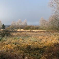
Monschau-Hellenthaler Waldhochfläche, protected landscape in Monschau, Germany
Location: Monschau
Inception: 1998
GPS coordinates: 50.52379,6.33171
Latest update: March 20, 2025 17:31
High Fens – Eifel Nature Park
3.2 km
Oleftalsperre
7.1 km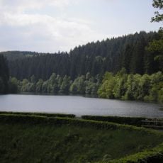
Perlenbachtalsperre
6.5 km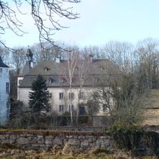
Schloss Dreiborn
6.6 km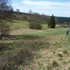
Perlenbach-Fuhrtsbachtal-Talsystem
5.3 km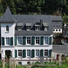
Kunst- und Kulturzentrum der StädteRegion Aachen
7.1 km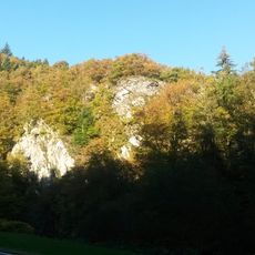
Rurtal mit den Felsbildungen der Uhusley
5.7 km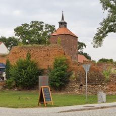
Musik-Museum Beeskow
7 km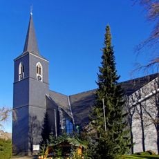
St. Michael
5.7 km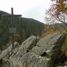
Alsdorfer Bergmannskreuz
5.6 km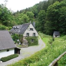
Belgenbacher Mühle
6.5 km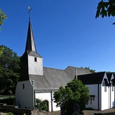
St. Michael
6.9 km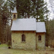
Arenbergische Waldkapelle
5.4 km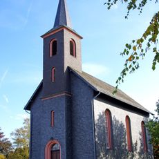
Evangelische Kirche Harperscheid
5.8 km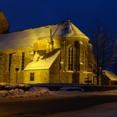
St. Cornelius
4.4 km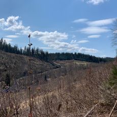
Wüstebachtal
1.3 km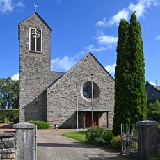
St. Lucia
6.5 km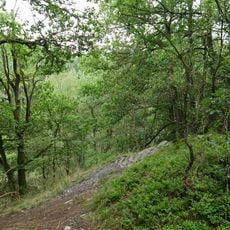
Buchenwald Dedenborn
3.4 km
St. Bartholomäus
4.5 km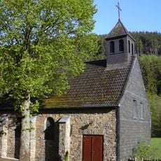
St. Hubertus
5 km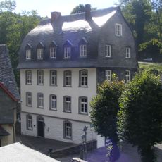
Elberssches Kontorhaus
7 km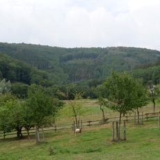
Erkensruhrtal mit Nebenbächen und Felsen am Oberseeufer
5.5 km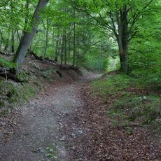
LSG-Wald zwischen Erkensruh und Truppenuebungsplatz Vogelsang
4.8 km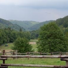
LSG-Hirschrotter und Erkensruhrer Tal
4.3 km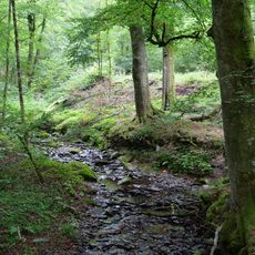
Pügelbach
1.6 km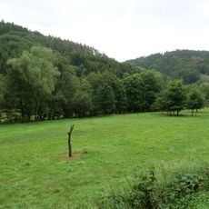
Bachtäler im Truppenübungsplatz Vogelsang
4.4 km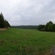
LSG-Leykaul
3.3 km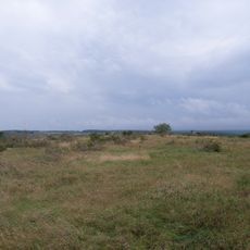
Müsauels-Berg
3.7 kmReviews
Visited this place? Tap the stars to rate it and share your experience / photos with the community! Try now! You can cancel it anytime.
Discover hidden gems everywhere you go!
From secret cafés to breathtaking viewpoints, skip the crowded tourist spots and find places that match your style. Our app makes it easy with voice search, smart filtering, route optimization, and insider tips from travelers worldwide. Download now for the complete mobile experience.

A unique approach to discovering new places❞
— Le Figaro
All the places worth exploring❞
— France Info
A tailor-made excursion in just a few clicks❞
— 20 Minutes