
Wingertsberg, Hügel in Aachen
Location: Aachen
Elevation above the sea: 195 m
GPS coordinates: 50.78272,6.09452
Latest update: April 4, 2025 18:46
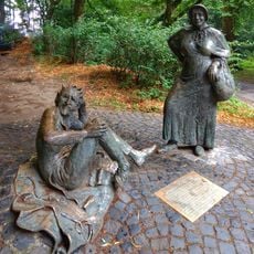
Bauersfrau und Teufel
747 m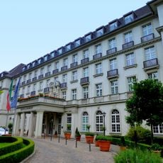
Quellenhof
303 m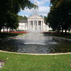
Stadtgarten Aachen
94 m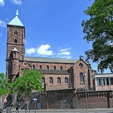
St. Adalbert
860 m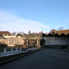
Eurogress
198 m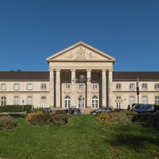
Neues Kurhaus
158 m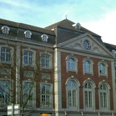
Altes Kurhaus Aachen
758 m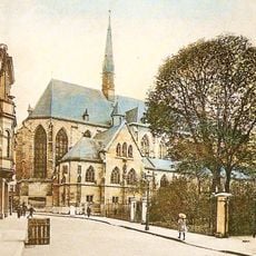
St. Nicholas Church
836 m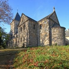
St. Salvator
636 m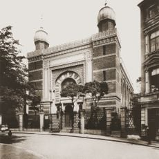
Ancienne synagogue d'Aix-la-Chapelle
683 m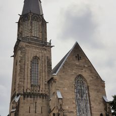
St. Elisabeth (Aachen)
544 m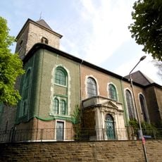
St. Peter, Aachen
575 m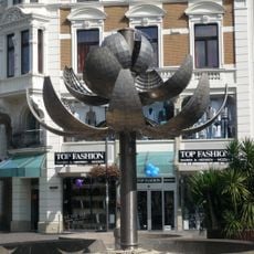
Kugelbrunnen
836 m
Salvatorberg
618 m
Synagoge Aachen
695 m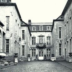
Haus Fey
776 m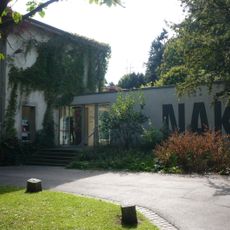
Neuer Aachener Kunstverein
180 m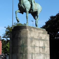
Friedrich III. Denkmal
800 m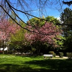
Sandkaulpark
523 m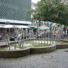
Röhrenbrunnen
730 m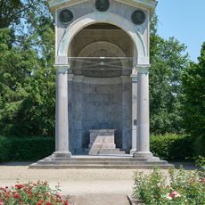
Kongreßdenkmal
237 m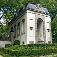
Kerstenscher Pavillon
827 m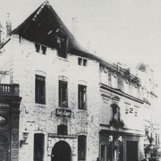
Klüppel
758 m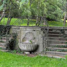
Guaita’sche Gartentreppe
117 m
Wasserturm
768 m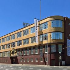
Ludwig Forum für Internationale Kunst
553 m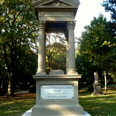
Friedhof Güldenplan
335 m
Adalbertsfelsen
863 mReviews
Visited this place? Tap the stars to rate it and share your experience / photos with the community! Try now! You can cancel it anytime.
Discover hidden gems everywhere you go!
From secret cafés to breathtaking viewpoints, skip the crowded tourist spots and find places that match your style. Our app makes it easy with voice search, smart filtering, route optimization, and insider tips from travelers worldwide. Download now for the complete mobile experience.

A unique approach to discovering new places❞
— Le Figaro
All the places worth exploring❞
— France Info
A tailor-made excursion in just a few clicks❞
— 20 Minutes