Magnetsteine, Natural monument in Nieder-Beerbach, Germany
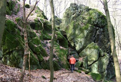
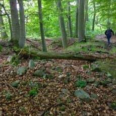
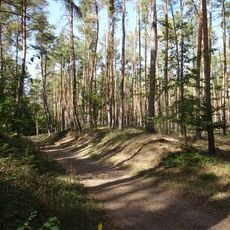
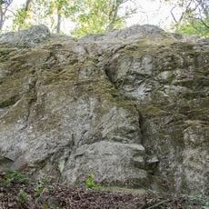
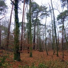
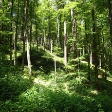
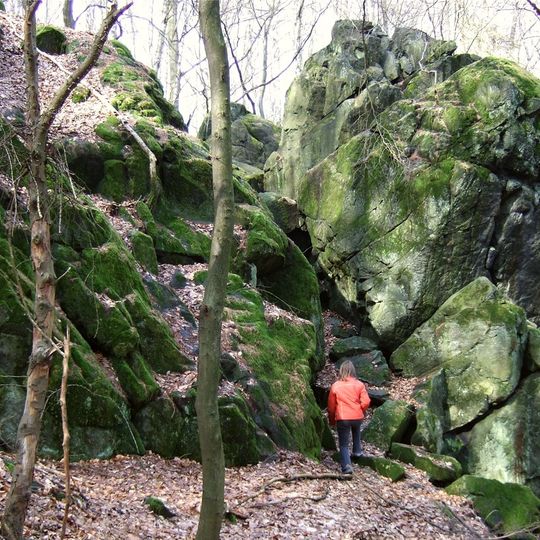
Magnetsteine is a rock formation that stretches along the ridge at 419.7 meters (1,377 feet) elevation in the Odenwald hills. The cliffs and individual stone blocks lie scattered among trees and offer views into the surrounding forest area from the ridgeline.
The bedrock is a dark, olivine-rich Diallag peridotite (wehrlite) that formed about 360 million years ago as an intrusive igneous rock, not through volcanic eruptions. In 1888 the geologist Achilles Andreae and the physicist Walter König examined the stones in detail, identifying olivine and diallag as primary minerals and serpentine and magnetite as secondary ones. The magnetic anomaly had already been described in 1808 in the Annalen der Physik. The site was protected as a natural monument by ordinance of 4 May 1938.
The name Magnetsteine comes from the rocks' measurable magnetic field, first described in 1808 in the Annalen der Physik as a "new magnetic mountain rock". Named rocks include the Brohmfels, the Becker-Felsen and the Magnet-Stein. The cliffs at the Brohmfels, up to eight metres high, are used for climbing, but placing new bolts is forbidden.
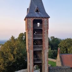
Hiking trails from the Frankenstein Castle parking area lead through the forest up to the rock groups, with the Alemannenweg path running alongside them. A compass can show the magnetic effects directly on site when held close to the rocks.
Lightning strikes heated the rock above 570 degrees Celsius (1,058 degrees Fahrenheit) and permanently changed the mineral structure, creating a natural magnetic field. The compass needle deviates up to 30 degrees from north when approaching the stones.
The community of curious travelers
AroundUs brings together thousands of curated places, local tips, and hidden gems, enriched daily by 93,852 contributors worldwide.