
Wegkreuz, Wegkreuz von 2007 in Marpingen, Deutschland
Location: Marpingen
Inception: 2007
GPS coordinates: 49.48356,7.05813
Latest update: March 11, 2025 12:40

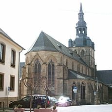
Tholey Abbey
2 km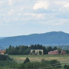
Schaumberg
2.1 km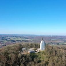
Schaumbergturm
2.1 km
Vicus Wareswald
1.2 km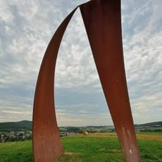
Wortsegel
5.4 km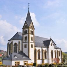
Mariä Himmelfahrt
3.5 km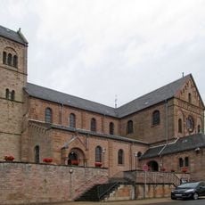
St. Remigius
4.1 km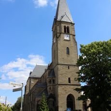
Heilige Familie
3.4 km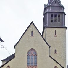
St. Stephanus
4.1 km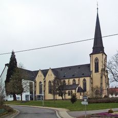
Saint Bartholomew Church
5.9 km
St. Franziskus (Urexweiler)
6.1 km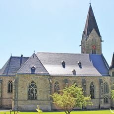
Saint Maurice Church (Sotzweiler)
4.9 km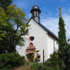
Blasiuskapelle, Bergweiler
4.5 km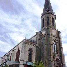
Saint Peter Church
3 km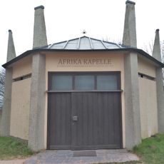
Afrikakapelle
2.7 km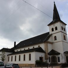
St. Mauritius
1.6 km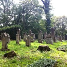
Jüdischer Friedhof
1.3 km
Christkönig-Kirche
5.4 km
Saint Anne Chapel (Wallesweilerhof)
5.1 km
Wiesenlandschaft bei Überroth
6.9 km
Maria Königin
7.1 km
Erasmuskapelle
4.7 km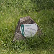
Wendelinus Pilgerweg
3.8 km
Naturschutzgroßvorhaben Ill
6.8 km
Evangelische Kirche
6.7 km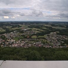
Landschaftsschutzgebiet im Landkreis St. Wendel - in der Gemeinde Tholey
4.5 km
Landschaftsschutzgebiet L 2.06.03
5.6 km
Wendelinus-Golfpark
5.3 kmReviews
Visited this place? Tap the stars to rate it and share your experience / photos with the community! Try now! You can cancel it anytime.
Discover hidden gems everywhere you go!
From secret cafés to breathtaking viewpoints, skip the crowded tourist spots and find places that match your style. Our app makes it easy with voice search, smart filtering, route optimization, and insider tips from travelers worldwide. Download now for the complete mobile experience.

A unique approach to discovering new places❞
— Le Figaro
All the places worth exploring❞
— France Info
A tailor-made excursion in just a few clicks❞
— 20 Minutes