
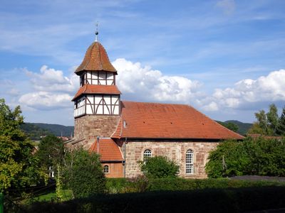
Evangelische Kirche Aue, Kirchengebäude in Aue, einem Ortsteil von Wanfried im Werra-Meißner-Kreis von Hessen
Location: Wanfried
Address: Kirchrain 5
GPS coordinates: 51.17781,10.12698
Latest update: March 3, 2025 07:38

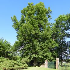
Plague tilia
2.8 km
Landgrafenschloss Wanfried
3 km
Wanfrieder Schlagd
2.8 km
Auer Wasserburg
233 m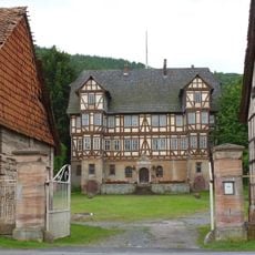
Rittergut Aue
108 m
Schlagd
2.8 km
Ev. Kirche
2.5 km
Burg Schwebda
2.4 km
Rittergut Völkershausen
3.1 km
Evangelische Stadtkirche (Wanfried)
2.9 km
Keudellsches Castle
3 km
Zum Schwan
3 km
Eckerbaum bei Datterode
2.8 km
Eichenberg bei Frieda
2 km
Wanfried town hall
3 km
Jüdisches Haus
3 km
Werra-Altarm bei Schwebda
2.3 km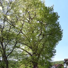
Schlosslinde
3 km
Lehnhaus
2.4 km
Kiesteich unter der Aue'schen Kugel
2.1 km
Kiesteich bei Frieda
1.4 km
Schlagdstraße 16
2.8 km
Werraaltarm bei Schwebda
2.1 km
Elektrizitätswerk, ehem. Werramühle
2.8 km
Evangelische Kirche Frieda
1.4 km
Haus Schlagdstraße 6
2.9 km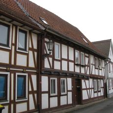
Haus Untere Schloßstraße 3
2.8 km
Eichenberg bei Frieda
2.1 kmReviews
Visited this place? Tap the stars to rate it and share your experience / photos with the community! Try now! You can cancel it anytime.
Discover hidden gems everywhere you go!
From secret cafés to breathtaking viewpoints, skip the crowded tourist spots and find places that match your style. Our app makes it easy with voice search, smart filtering, route optimization, and insider tips from travelers worldwide. Download now for the complete mobile experience.

A unique approach to discovering new places❞
— Le Figaro
All the places worth exploring❞
— France Info
A tailor-made excursion in just a few clicks❞
— 20 Minutes