
Kalkofen W von Steinfelder, Geotop in Landkreis Altötting in Bavaria, Germany
Location: Marktl
Elevation above the sea: 374 m
Length: 10 m
Width: 5 m
Website: http://www.umweltatlas.bayern.de/mapapps/resources/reports/geotope/generateBericht.pdf?additionallayerfieldvalue=171G002
GPS coordinates: 48.23962,12.81761
Latest update: November 3, 2025 18:01
Wallfahrtskirche St. Ägidius (Schildthurn)
7.6 km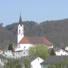
St. Oswald
2.3 km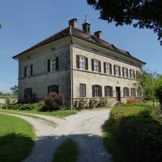
Schloss Haiming
6.1 km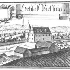
Schloss Piesing
4.8 km
Kümmerniskapelle
7.3 km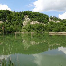
Innleite bei Marktl mit Dachlwand
3.7 km
Pfarrkirche Überackern
6.8 km
St. Martin (Zeilarn)
7 km
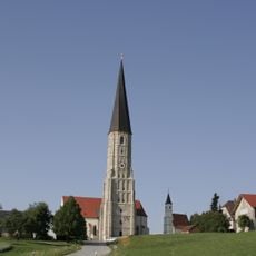
Katholische Pfarrkirche St. Martin
7.2 km
Mariä Himmelfahrt (Niedergottsau)
4.4 km
Filialkirche Haiming-Neuhofen
5.5 km
St. Stephanus (Haiming)
5.9 km
St. Laurentius
5.1 km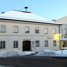
Rathaus Marktl
2.4 km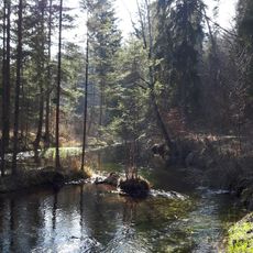
Untere Alz
1.4 km
Mariä Himmelfahrt
4.8 km
St. Nikolaus
2 km
St. Andreas
3.7 km
St. Rupert
5.8 km
Kapelle, sogenannte „Kümmerniskapelle“ auf dem Hechenberg
7.3 km
LSG Dachlwand in den Gemeinden Perach, Schutzing, Marktlberg und dem Markt Marktl, Landkreis Altötting
4 km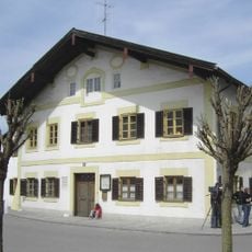
Ehemaliges Wohnhaus
2.4 km
Werkssiedlung Wackerstraße
7.8 km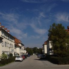
Werkssiedlung Liebigstr.
7 km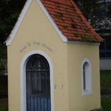
Heiligenhäuschen
7.4 km
Werkssiedlung Robert-Koch-Str. (Burghausen)
7.7 km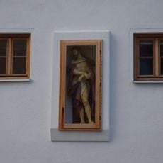
Christus an der Martersäule
7.4 km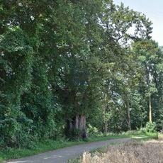
Grenadierlinde bei Überackern
6.9 kmReviews
Visited this place? Tap the stars to rate it and share your experience / photos with the community! Try now! You can cancel it anytime.
Discover hidden gems everywhere you go!
From secret cafés to breathtaking viewpoints, skip the crowded tourist spots and find places that match your style. Our app makes it easy with voice search, smart filtering, route optimization, and insider tips from travelers worldwide. Download now for the complete mobile experience.

A unique approach to discovering new places❞
— Le Figaro
All the places worth exploring❞
— France Info
A tailor-made excursion in just a few clicks❞
— 20 Minutes