
Giebelwald, protected area in the European Union defined by the habitats directive in Rheinland-Pfalz, Germany
Location: Niederfischbach
Location: Mudersbach
Location: Brachbach
Location: Kirchen
Inception: 2003
GPS coordinates: 50.83461,7.90780
Latest update: April 26, 2025 13:09
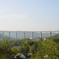
Siegtalbrücke
5.9 km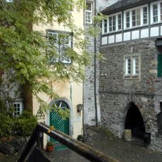
Freusburg
2.1 km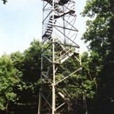
Ottoturm
3.3 km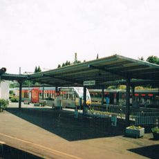
Betzdorf (Sieg) station
5.7 km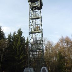
Pfannenbergturm
7 km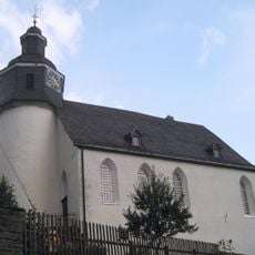
Freudenberg Castle
7.4 km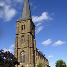
St. Aloisius
6.9 km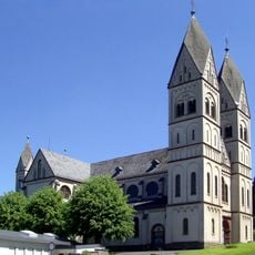
St. Mauritius
3 km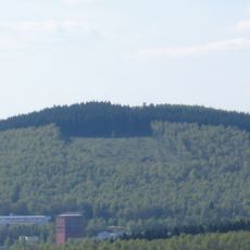
Pfannen-Berg
7 km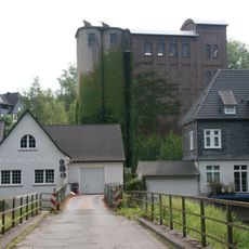
Freusburger Mühle
2.4 km
Gilbergs Kopf
6.6 km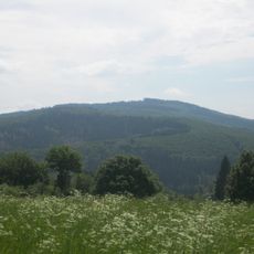
Giebelberg
1.1 km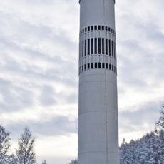
St. Marien Church
7.5 km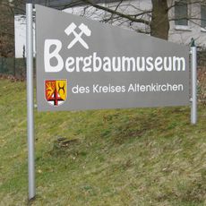
Bergbaumuseum des Kreises Altenkirchen
7.2 km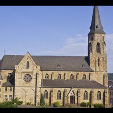
St. Ignatius
5.9 km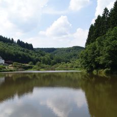
Asdorfer Weiher
5.6 km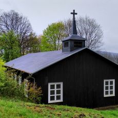
Friedenskirche
6.9 km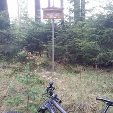
Windhahn
4.5 km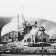
Marienhütte (Eiserfeld)
6 km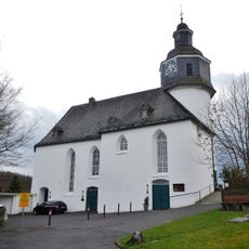
Evangelische Kirche Freudenberg
7.4 km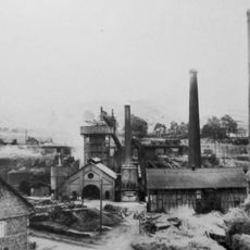
Eiserfelder Hütte
6.6 km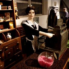
Heimatmuseum Kirchen
3.4 km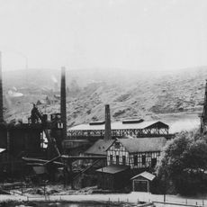
Gosenbacher Hütte
4.2 km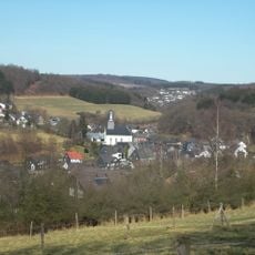
Evangelische Kirche Oberfischbach
4.1 km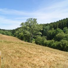
Dirlenbachtal
5.6 km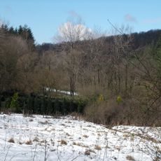
Uebachtal
3.5 km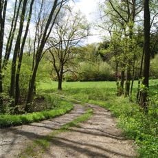
Rödersche
5.4 km
Plittersche
7 kmReviews
Visited this place? Tap the stars to rate it and share your experience / photos with the community! Try now! You can cancel it anytime.
Discover hidden gems everywhere you go!
From secret cafés to breathtaking viewpoints, skip the crowded tourist spots and find places that match your style. Our app makes it easy with voice search, smart filtering, route optimization, and insider tips from travelers worldwide. Download now for the complete mobile experience.

A unique approach to discovering new places❞
— Le Figaro
All the places worth exploring❞
— France Info
A tailor-made excursion in just a few clicks❞
— 20 Minutes