
Speyerer Wald und Haßlocher Wald und Schifferstädter Wiesen, protected area in the European Union defined by the habitats directive in Rheinland-Pfalz, Germany
Location: Schifferstadt
Location: Böhl-Iggelheim
Location: Haßloch
Location: Hanhofen
Location: Dudenhofen
Location: Speyer
Inception: 1998
GPS coordinates: 49.34166,8.33656
Latest update: March 16, 2025 02:17
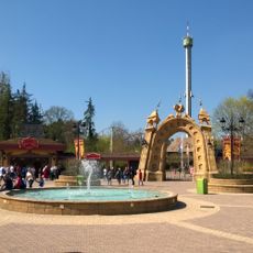
Holiday Park
3.9 km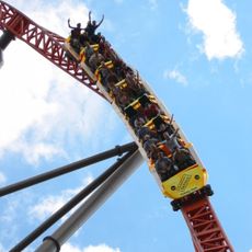
Expedition GeForce
3.9 km
Golden Hat of Schifferstadt
6.8 km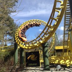
Super Wirbel
4.1 km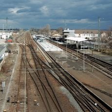
Schifferstadt station
5.9 km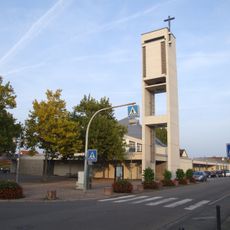
St. Konrad
6.8 km
Heiliges Grab
6.9 km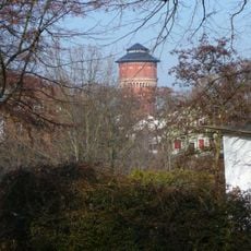
Wasserturm Speyer
6.7 km
Schloss Marientraut
2.9 km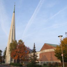
Christuskirche
6.8 km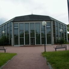
Herz-Jesu-Kirche (Schifferstadt)
5.9 km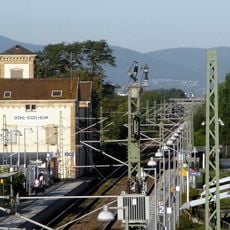
Böhl-Iggelheim station
4.8 km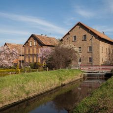
Fronmühle (Haßloch)
6.7 km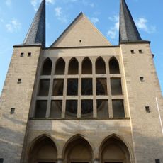
St. Peter und Paul
7.2 km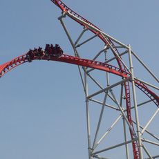
Sky Scream
4 km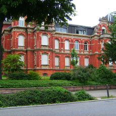
Villa Kirrmeier-Ecarius
7.1 km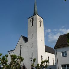
St. Laurentius
5 km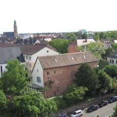
Hirschgraben
7.1 km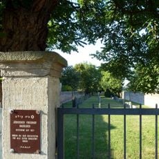
Jüdischer Friedhof Haßloch
6.9 km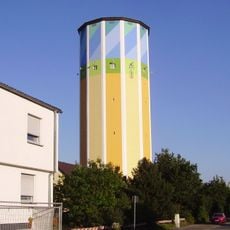
Wasserturm
6.6 km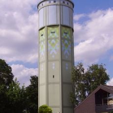
Wasserturm Böhl
6 km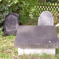
Jewish cemetery, Schifferstadt
4.6 km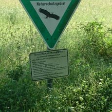
Lochbusch-Königswiesen
4.8 km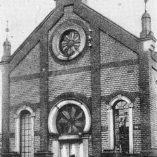
Synagoge Schifferstadt
5.9 km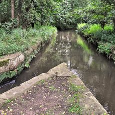
Hanhofer Wassergescheid
3.1 km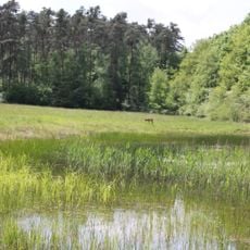
Böhler Bruch-Kandelwiese
990 m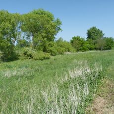
Woogwiesen
4.5 km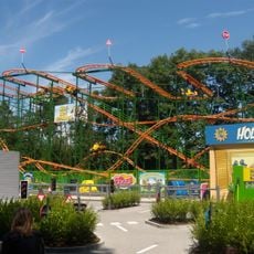
Hollys wilde Autofahrt
3.9 kmReviews
Visited this place? Tap the stars to rate it and share your experience / photos with the community! Try now! You can cancel it anytime.
Discover hidden gems everywhere you go!
From secret cafés to breathtaking viewpoints, skip the crowded tourist spots and find places that match your style. Our app makes it easy with voice search, smart filtering, route optimization, and insider tips from travelers worldwide. Download now for the complete mobile experience.

A unique approach to discovering new places❞
— Le Figaro
All the places worth exploring❞
— France Info
A tailor-made excursion in just a few clicks❞
— 20 Minutes