
Wellspanger-Loiter-Oxbek-System und angrenzende Wälder, protected area in the European Union defined by the habitats directive in Schleswig-Holstein, Germany
Location: Süderbrarup
Location: Norderbrarup
Location: Saustrup
Location: Böel
Location: Twedt
Location: Loit
Location: Taarstedt
Location: Schaalby
Location: Struxdorf
Location: Böklund
Location: Süderfahrenstedt
Location: Tolk
Location: Nübel
Location: Idstedt
Location: Neuberend
Location: Lürschau
Inception: 2004
GPS coordinates: 54.59638,9.63133
Latest update: March 12, 2025 16:52

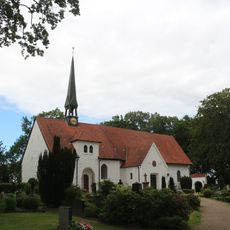
St. Wilhadi Church
7.9 km
Tolk-Schau
2 km
Wikingersiedlung von Füsing
7.2 km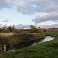
Füsinger Au
7.3 km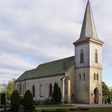
St. Marien-Kirche Kahleby
5.8 km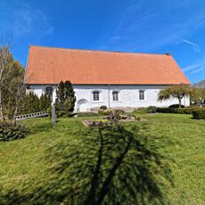
Fahrenstedt Church
2.9 km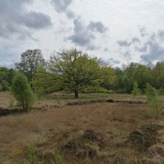
Hechtmoor
7.9 km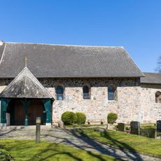
St. Jakobus
5.9 km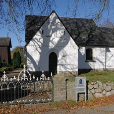
Marienkirche
4.9 km
Struxdorf Church
3.9 km
St. Ursula
8.1 km
NSG Hechtmoor
7.9 km
Taarstedt church
4.5 km
St. Marien
2.1 km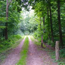
Rehbergholz und Schwennholz
7.6 km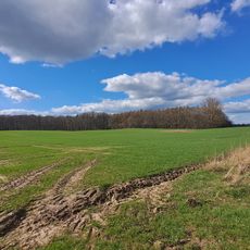
Kiuser Gehege
6.1 km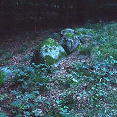
Großsteingrab Pinnesgrab
7.6 km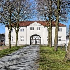
Gut Fahrenstedt
2.5 km
Jakobus-Kirche
4.7 km
Loit Kirche
4.7 km
Schnarup-Thumby Kirche
5.6 km
Norderstraße 5, Kirche St. Ursula
8.1 km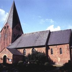
Norderstraße 5, Kirche St. Ursula
8.1 km
Lindenallee 2, Wohnhaus
8.1 km
Schleidörfer Straße 26
6.9 km
Schleidörfer Straße 24
6.9 km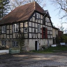
Mühlenstraße 4, Wassermühle
5.6 km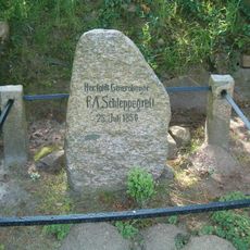
Gedenkstein F. A. Schleppegrell
6.4 kmReviews
Visited this place? Tap the stars to rate it and share your experience / photos with the community! Try now! You can cancel it anytime.
Discover hidden gems everywhere you go!
From secret cafés to breathtaking viewpoints, skip the crowded tourist spots and find places that match your style. Our app makes it easy with voice search, smart filtering, route optimization, and insider tips from travelers worldwide. Download now for the complete mobile experience.

A unique approach to discovering new places❞
— Le Figaro
All the places worth exploring❞
— France Info
A tailor-made excursion in just a few clicks❞
— 20 Minutes